

Von Bad Sooden-Allendorf geht es gemächlich über Eschwege in Richtung Thüringen. Das ganze erstmal auf dem Radweg. In Heyerode gehts dann über durch den Wald auf Wanderwegen entlang quer durch den Hainch. Man kommt an mehreren POI´s vorbei, die auf der Ausschilderung auf den Waldwegen erklärt sind (zB. Betteleiche, Luderhaus). In Richtung Bischofroda verlassen wir den Hainich und begeben uns wieder auf befestigte Wege. Entspannt gehts nun entlang der Werra zurck zum Ausgangsort.
Further information at
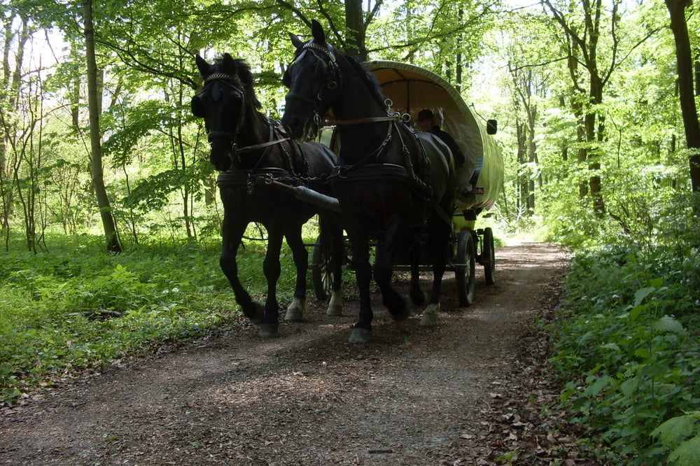
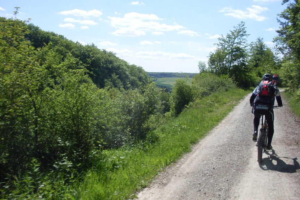
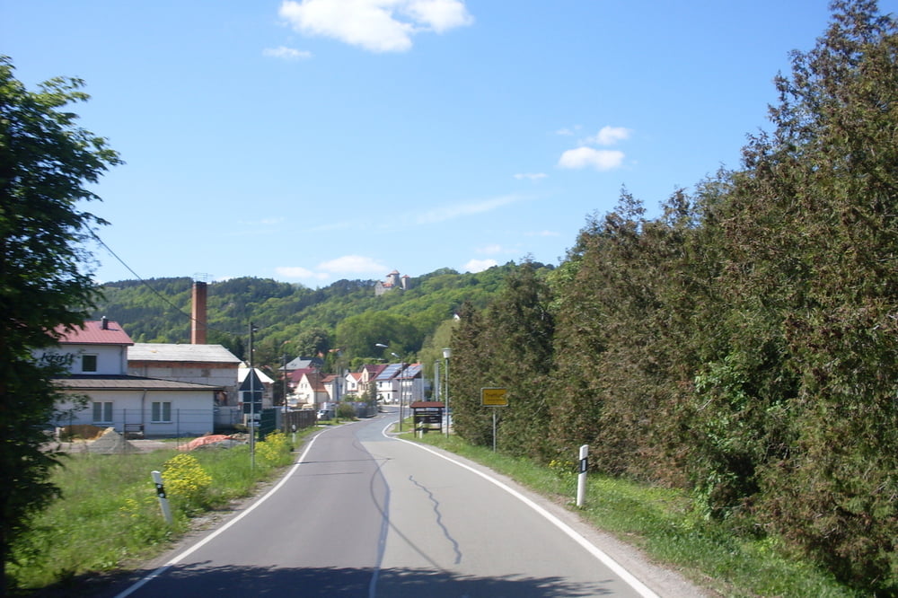
http://www.bikefuehrer-werra-meissner.de/Tour gallery


Tour map and elevation profile
Minimum height 145 m
Maximum height 474 m
More about the tour author
|
|
kolze |
Comments

http://maps.google.de/maps?hl=de&ll=51.256973,10.035496&spn=0.072516,0.209255&hnear=37242+Bad+Sooden-Allendorf,+Kassel,+Hessen&t=h&z=13
GPS tracks
Trackpoints-
GPX / Garmin Map Source (gpx) download
-
TCX / Garmin Training Center® (tcx) download
-
CRS / Garmin Training Center® (crs) download
-
Google Earth (kml) download
-
G7ToWin (g7t) download
-
TTQV (trk) download
-
Overlay (ovl) download
-
Fugawi (txt) download
-
Kompass (DAV) Track (tk) download
-
Track data sheet (pdf) download
-
Original file of the author (gpx) download
More about the tour author
|
|
kolze |
Add to my favorites
Remove from my favorites
Edit tags
Open track
My score
Rate