


Die Tour Nr. 34 wurde aus dem Rother Wanderführer "Bergisches Land" von Sabine Keller entnommen.
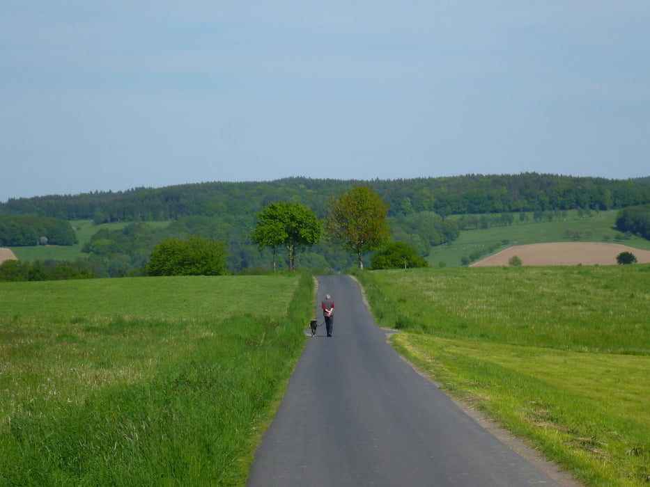
Sie war nicht besonders anstrengend aber bei schönem, sonnigen Wetter sehr angenehm, da wir fast die ganze Zeit unter freiem Himmel mit sehr guter Aussicht gewandert sind.
Wir sind nach ca. 40% der Strecke in Marienfeld eingekehrt. Das war ganz OK, leider nur zum drinnen sitzen.
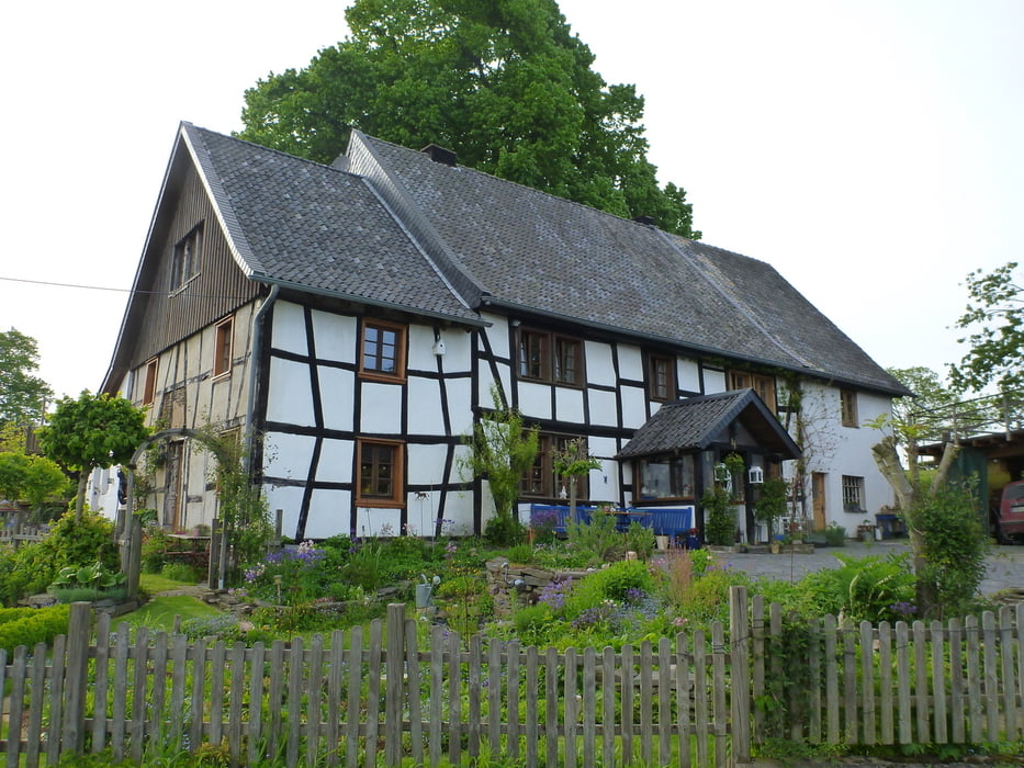
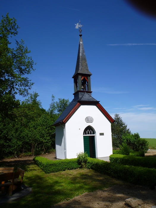
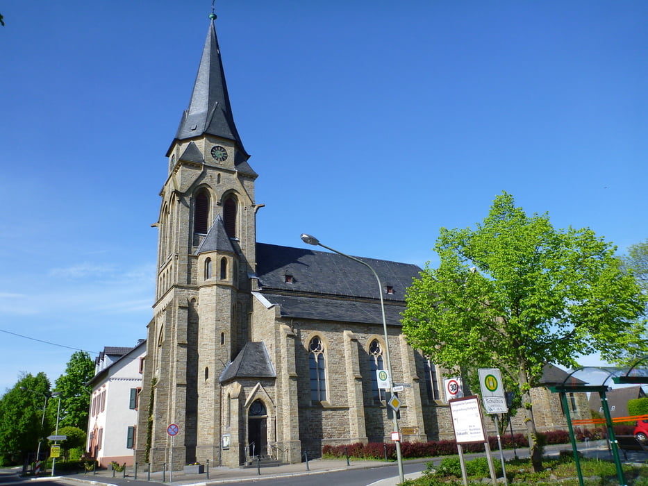
Tour gallery
Tour map and elevation profile
Minimum height 182 m
Maximum height 286 m
More about the tour author
|
|
Zoellig |
Comments

Wanderparkplatz in Much (Navi: 53804 Much, Marienfelder Str.)
GPS tracks
Trackpoints-
GPX / Garmin Map Source (gpx) download
-
TCX / Garmin Training Center® (tcx) download
-
CRS / Garmin Training Center® (crs) download
-
Google Earth (kml) download
-
G7ToWin (g7t) download
-
TTQV (trk) download
-
Overlay (ovl) download
-
Fugawi (txt) download
-
Kompass (DAV) Track (tk) download
-
Track data sheet (pdf) download
-
Original file of the author (gpx) download
More about the tour author
|
|
Zoellig |
Add to my favorites
Remove from my favorites
Edit tags
Open track
My score
Rate