


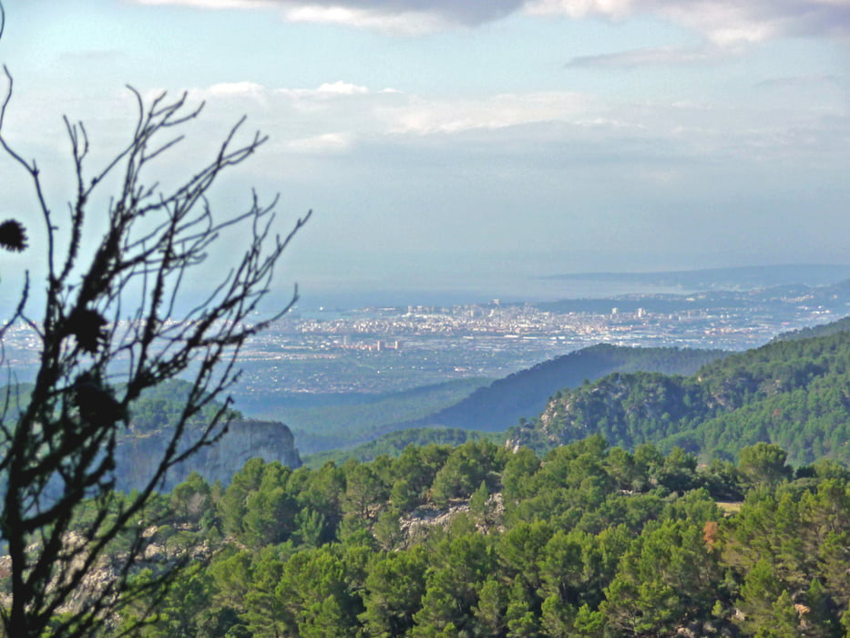
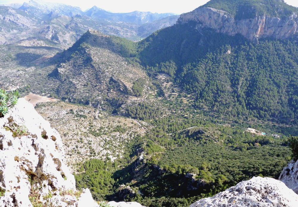
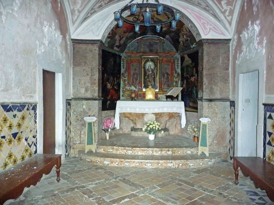
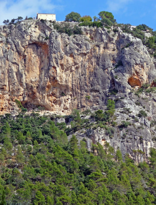
Schöne und problemlos zu gehende Tour von Orient aus durch Olivenplantagen und ab dem Pla d'es Pouet auf alten Pilgerwegen zum Festungsberg Castell d'Alaro. Bei guter Sicht hat man von hier aus einen grandiosen Blick über weite Teile der Insel.
Tour gallery
Tour map and elevation profile
Minimum height 456 m
Maximum height 827 m
More about the tour author
|
|
hadihe |
Comments
Von der MA 11 (Palma - Sóller) nach Bunyola abzweigen. Von dort auf der PM 210 nach Orient. In Orient findet man nicht weit vom Ortsausgang auf der PM 210 zur linken Seite meist eine Parkmöglichkeit.
GPS tracks
Trackpoints-
GPX / Garmin Map Source (gpx) download
-
TCX / Garmin Training Center® (tcx) download
-
CRS / Garmin Training Center® (crs) download
-
Google Earth (kml) download
-
G7ToWin (g7t) download
-
TTQV (trk) download
-
Overlay (ovl) download
-
Fugawi (txt) download
-
Kompass (DAV) Track (tk) download
-
Track data sheet (pdf) download
-
Original file of the author (gpx) download
More about the tour author
|
|
hadihe |
Add to my favorites
Remove from my favorites
Edit tags
Open track
My score
Rate
Schöne Wanderung, nicht nur in der Sonne
Was uns etwas gestört hat: wir waren an einem Sonntag auf dem Castel und es scheint ein beliebtes Ausflugsziel der Einheimischen zu sein. Demnach war es ziemlich laut da oben...
Der Berggasthof der so berühmt sein soll ist ein Bauernhof mit einfacher aber leckerer Küche. Uns haben nur die Fliegen draußen etwas genervt. Man kann aber auch drinnen in der urigen Stube sitzen.