


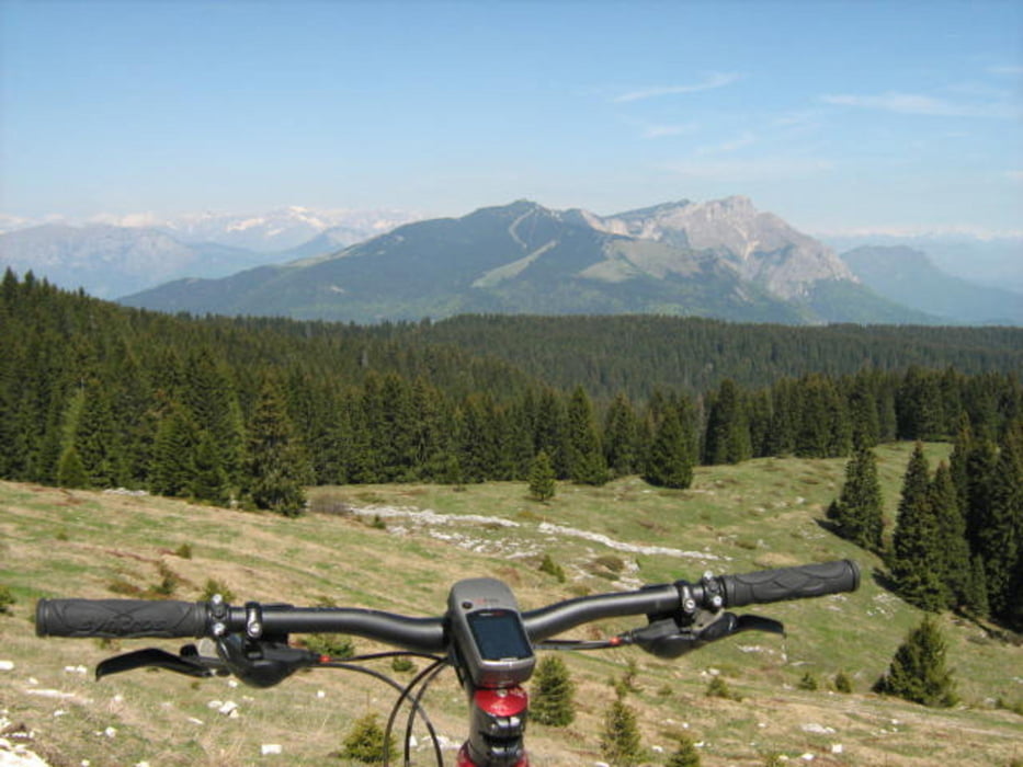
L'anello che abbraccia il monte Toraro è senza dubbio uno degli itinerari classici degli Altipiani.
Il percorso è scorrevole e non presenta rilevanti difficoltà tecniche (unico tratto “trialistico” il sentiero che collega malga Pioverna alla Bocca di Val Orsara)Straordinari i panorami che fanno da cornice al giro.
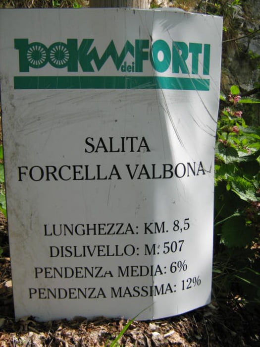
Itinerario: Passo Sommo – Passo Coe – Ex Base Nato – Campoluzzo – Rif. Rumor – Forcella Valbona – Rif. Valbona -Costa d'Agra – Malga Pioverna – Bocca di Valle Orsara – Valle Orsara – Ortesino - Passo Sommo.
Tour gallery
Tour map and elevation profile
Minimum height 1280 m
Maximum height 1787 m
More about the tour author
|
|
FOLAMOUR |
Comments

Da Folgaria proseguire sulla SS350 fino a Passo Sommo, punto di partenza dell'itinerario
GPS tracks
Trackpoints-
GPX / Garmin Map Source (gpx) download
-
TCX / Garmin Training Center® (tcx) download
-
CRS / Garmin Training Center® (crs) download
-
Google Earth (kml) download
-
G7ToWin (g7t) download
-
TTQV (trk) download
-
Overlay (ovl) download
-
Fugawi (txt) download
-
Kompass (DAV) Track (tk) download
-
Track data sheet (pdf) download
-
Original file of the author (gpx) download
More about the tour author
|
|
FOLAMOUR |
Add to my favorites
Remove from my favorites
Edit tags
Open track
My score
Rate