


2 Tageswanderung im Naturpark Frankenwald
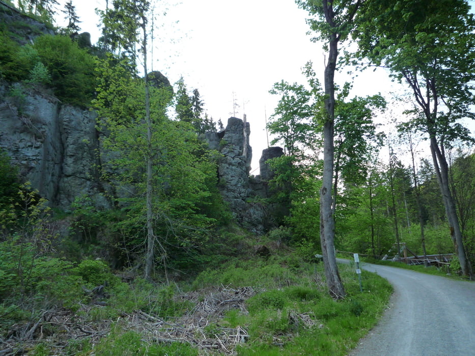
1. Etappe: Schwarzenbach am Wald - Döbraberg mit dem Prinz Luitpold Turm von 1902 - Cafe in Bad Steben - Höllental - Zeltplatz Lichtenberg ( Zeltplatz sehr empfehlenswert****)
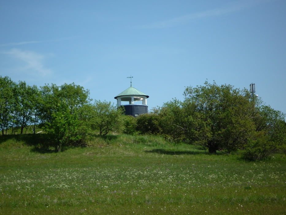
2. Etappe: Zeltplatz Lichtenberg - Frühstück in Bad Steben im Cafe Musikantenschenke ( 40 min Gehzeit / auf Anfage wird auch schon ab 9 Uhr geöffnet - sehr nett! ) - Wasserturm bei Steinbach - Ausgangspunkt
Die Tour verläuft auf großen Teilen der "24 Stunden Wanderung im Naturpark Frankenwald"! http://www.merkur-online.de/reise/reise-special/wanderreisen/franken-wandern-24-stunden-tour-franken-1313070.html
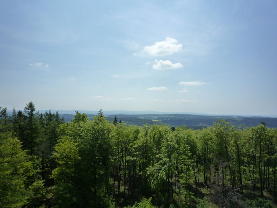
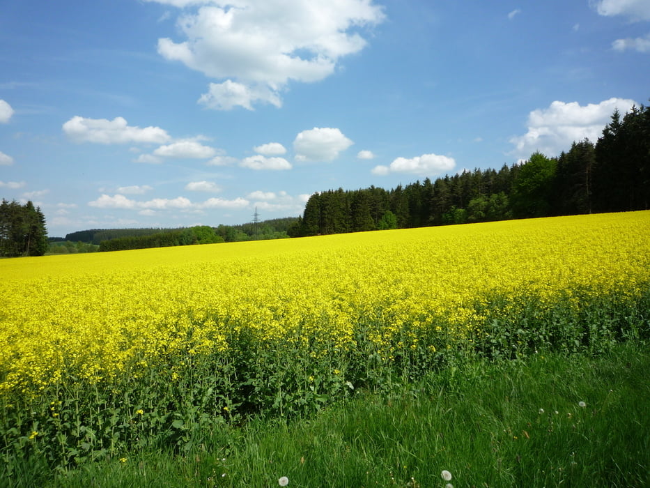
Die Landschaft und die Ausblicke sind immer wieder beeindruckend! Dies war wohl eine der schönsten Wanderung der letzten Wochen und Monaten!
Viel Spaß!
Further information at
http://www.lichtenberg-oberfranken.de/camping.htmlTour gallery
Tour map and elevation profile
Minimum height 433 m
Maximum height 796 m
More about the tour author
|
|
FLU |
Comments

GPS tracks
Trackpoints-
GPX / Garmin Map Source (gpx) download
-
TCX / Garmin Training Center® (tcx) download
-
CRS / Garmin Training Center® (crs) download
-
Google Earth (kml) download
-
G7ToWin (g7t) download
-
TTQV (trk) download
-
Overlay (ovl) download
-
Fugawi (txt) download
-
Kompass (DAV) Track (tk) download
-
Track data sheet (pdf) download
-
Original file of the author (gpx) download
More about the tour author
|
|
FLU |
Add to my favorites
Remove from my favorites
Edit tags
Open track
My score
Rate