Login

Forgotten password?

Cookies have to be accepted!
Your browser's cookie functionality is disabled. Please enable this functionality.

Not a member yet?

Register now
Login

Available for registred users only

Log in to use this feature.

Forgotten password?

Cookies have to be accepted!
Your browser's cookie functionality is disabled. Please enable this functionality.

Not a member yet?

Register now
Filter
Categories
Advanced filters
  • Distance (km)
  • Height
Save filters Reset filter

TrackRank

QRCode

Technical data

Distance58,4 km Height66 m Way down166 m Duration03:00 h:m Date21.05.2012
Scores Author Landscape Fun factor Fitness Technique

Statistics

1576 Views Scores 134 Downloads Average
Rate
  • Track data sheet
  • Directions
  • Downloads

Tour startet in Vreden  dann gehts Richtung Oeding durch einige Waldtrails.

Über die Grenze fährt man dann Die Mtb Strecke von Winterwijk durch Wälder, Schotter und Sandwegen.

Dann kommt man Am Berg von Winterswijk an wo man Richtig Downhill fahren kann.

Richtung Winterswijk City fahren wir dann auf Meddo zu (Badesee).
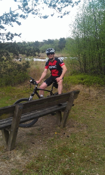
Pause?

Weiter gehts Richtung Ellewick über Bauernwege nach Vreden zurück wo die Tour endet.

Tour gallery

Tour map and elevation profile

  • Open Street Map
  • Google
Minimum height 30 m Maximum height 139 m Detailed view

More about the tour author

wer567
Member since 2012

Send private message

Comments

GPS tracks

Trackpoints
  • GPX / Garmin Map Source (gpx) download
  • TCX / Garmin Training Center® (tcx) download
  • CRS / Garmin Training Center® (crs) download
  • Google Earth (kml) download
  • G7ToWin (g7t) download
  • TTQV (trk) download
  • Overlay (ovl) download
  • Fugawi (txt) download
  • Kompass (DAV) Track (tk) download
  • Track data sheet (pdf) download
  • Original file of the author (gpx) download

More about the tour author

wer567
Member since 2012

Send private message
Share track
Add to my favorites
Remove from my favorites
Edit tags
My score
Rate
Track: Tour Obelinksberg Winterswijk
Type: Mountain bike
Distance: 58,4 km
Evaluated on:
Duration:
Day(s)
Hour(s)
Minute(s)
Score: Landscape Fun factor Fitness Technique