


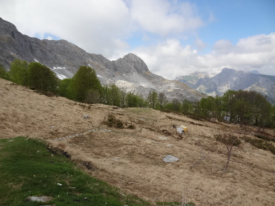
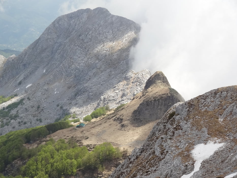
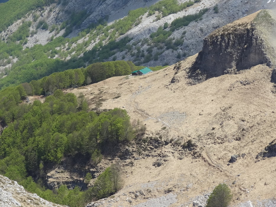
Diese Wanderung verläuft auf Wanderwegen und Pfaden. Der Anstieg nach dem Rifugio Rossi bis auf den Pania della Croce geht über ein Geröllfeld und erfordert Trittsicherheit und gutes Schuhwerk.
Die Wegbeschreibung kann im Wanderführer Rother Toskana Nord nachgelesen werden.
Further information at
http://www.rother.de/titpage/4115.phpTour gallery
Tour map and elevation profile
Minimum height 1119 m
Maximum height 1852 m
More about the tour author

|
rödivomsee |
Comments

Von Molazzana in Richtung Piglionico. Wenn die asphaltierte Straße zu Ende ist folgt man der ca. 4 km langen Schotterstraße bis zu einer Kapelle, dort Parkmöglichkeit.
GPS tracks
Trackpoints-
GPX / Garmin Map Source (gpx) download
-
TCX / Garmin Training Center® (tcx) download
-
CRS / Garmin Training Center® (crs) download
-
Google Earth (kml) download
-
G7ToWin (g7t) download
-
TTQV (trk) download
-
Overlay (ovl) download
-
Fugawi (txt) download
-
Kompass (DAV) Track (tk) download
-
Track data sheet (pdf) download
-
Original file of the author (gpx) download
More about the tour author
|
|
rödivomsee |
Add to my favorites
Remove from my favorites
Edit tags
Open track
My score
Rate