


Die leichte Wanderung von Aigen im Ennstal auf den Kulm ist 8,5km lang und hat nur 330 Höhenmeter. Besonders für Familien mit Kindern ist diese leichte Runde sehr empfehlenswert, da sie keine gefährlichen Abhänge aufweist und sich die Wanderung im Sommer wunderbar mit einer Abkühlung im Putterersee verbinden lässt. Obwohl der Kulm bis oben hin bewaldet ist, bietet der 918m hohe Hügel neben dem Putterersee aufgrund seiner exponierten Lage einige sehr gute Aussichtspunkte. Der Unterschied zur ersten Variante liegt darin, dass wir hier vom Gipfel nicht den Wanderweg auf der Westseite, sondern an der Nordseite 1,2 km den gleichen Weg und dann über Hohenberg zum Putterersee zurückgehen.
weitere Infos und Fotos findest du auf biketours4you.at
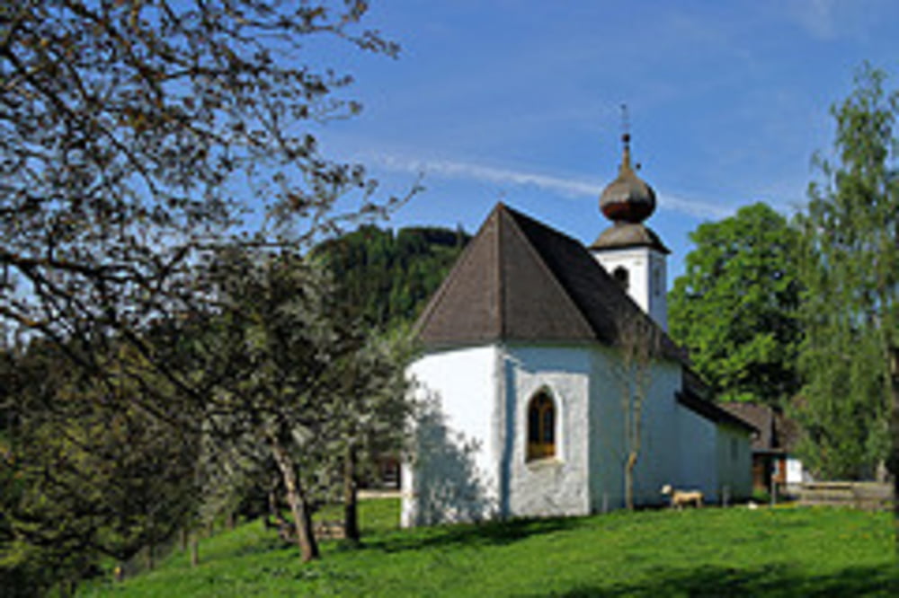
Tour gallery
Tour map and elevation profile
Minimum height 644 m
Maximum height 918 m
More about the tour author
|
|
Trek1400d |
Comments

GPS tracks
Trackpoints-
GPX / Garmin Map Source (gpx) download
-
TCX / Garmin Training Center® (tcx) download
-
CRS / Garmin Training Center® (crs) download
-
Google Earth (kml) download
-
G7ToWin (g7t) download
-
TTQV (trk) download
-
Overlay (ovl) download
-
Fugawi (txt) download
-
Kompass (DAV) Track (tk) download
-
Track data sheet (pdf) download
-
Original file of the author (gpx) download
More about the tour author
|
|
Trek1400d |
Add to my favorites
Remove from my favorites
Edit tags
Open track
My score
Rate