


Streckenverlauf:
Schirgiswalde, Crostau, Weigsdorf-Köblitz, Cunewalde, Hochkirch, Pommritz, Drehsa, Baschütz, Bautzen, Doberschau, Obergurig, Großpostwitz, Kirschau, Schirgiswalde
Stopps:
Schirgiswalde: Markt, katholische Pfarrkirche, Heimatmuseum, Gondelteich
Crostau: evangelische Kirche mit Silbermannorgel, Schlosspark, Heimatstube
Cunewalde: Deutschlands größte Dorfkirche, Polenzpark, Polenz-Museum, Ausstellung alter Zimmermannswerkzeuge, Kfz-und Technik-Museum, Freilandausstellung landwirtschaftlicher Geräte
Hochkirch: Dorfkirche, Gedenksteine zur Schlacht bei Hochkirch
Pommritz: Lebensgut
Baschütz: Reiterhof Müller, Gutshaus Baschütz
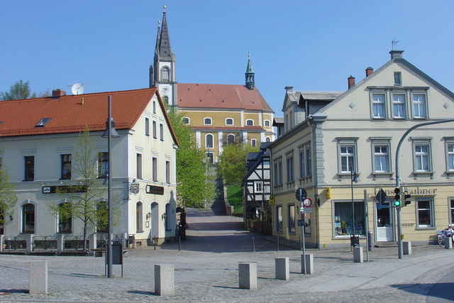
Bautzen: historischer Altstadtkomplex
Obergurig: Böhmische Brücke
Großpostwitz: Dorfkirche
Kirschau: Gesundheitsbad „Körse Therme“, Burgruine Körse, Heimatmuseum
Beschilderung: / Logo: Tour 5
Wegbeschaffenheit:
asphaltierte Radwanderwege und mäßig befahrene Straßen
Aufgezeichnet am 29.04.2006
Schirgiswalde, Crostau, Weigsdorf-Köblitz, Cunewalde, Hochkirch, Pommritz, Drehsa, Baschütz, Bautzen, Doberschau, Obergurig, Großpostwitz, Kirschau, Schirgiswalde
Stopps:
Schirgiswalde: Markt, katholische Pfarrkirche, Heimatmuseum, Gondelteich
Crostau: evangelische Kirche mit Silbermannorgel, Schlosspark, Heimatstube
Cunewalde: Deutschlands größte Dorfkirche, Polenzpark, Polenz-Museum, Ausstellung alter Zimmermannswerkzeuge, Kfz-und Technik-Museum, Freilandausstellung landwirtschaftlicher Geräte
Hochkirch: Dorfkirche, Gedenksteine zur Schlacht bei Hochkirch
Pommritz: Lebensgut
Baschütz: Reiterhof Müller, Gutshaus Baschütz
Bautzen: historischer Altstadtkomplex
Obergurig: Böhmische Brücke
Großpostwitz: Dorfkirche
Kirschau: Gesundheitsbad „Körse Therme“, Burgruine Körse, Heimatmuseum
Beschilderung: / Logo: Tour 5
Wegbeschaffenheit:
asphaltierte Radwanderwege und mäßig befahrene Straßen
Aufgezeichnet am 29.04.2006
Further information at
http://www.oberlausitz.com/radwandern/radwege/th_bz_silbermannorgel.aspTour gallery
Tour map and elevation profile
Minimum height 166 m
Maximum height 434 m
More about the tour author
|
|
Poersi |
Comments

Mit der Bahn bis Bautzen
GPS tracks
Trackpoints-
GPX / Garmin Map Source (gpx) download
-
TCX / Garmin Training Center® (tcx) download
-
CRS / Garmin Training Center® (crs) download
-
Google Earth (kml) download
-
G7ToWin (g7t) download
-
TTQV (trk) download
-
Overlay (ovl) download
-
Fugawi (txt) download
-
Kompass (DAV) Track (tk) download
-
Track data sheet (pdf) download
-
Original file of the author (gpx) download
More about the tour author
|
|
Poersi |
Add to my favorites
Remove from my favorites
Edit tags
Open track
My score
Rate