

Ab Ebikon führt die Rundtour nach Schachen, wo auch der Aufstieg beginnt.
Zur Rengg führt eine schöne kurvige Nebenstrasse mit wenig Verkehr und bereits nach wenigen Höhenmetern, gute Aussicht.
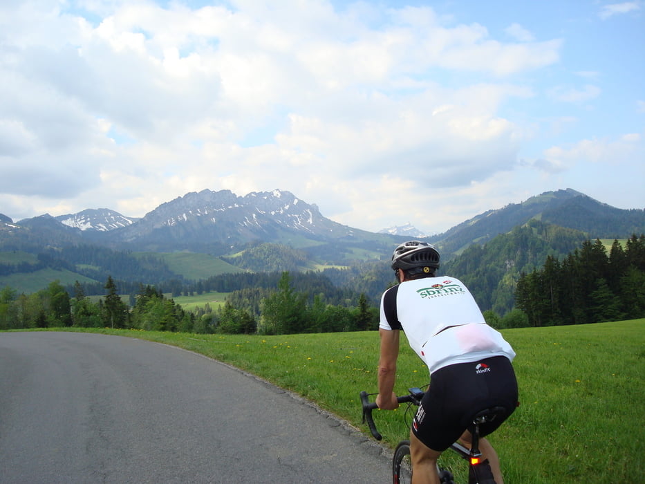
Richtung Glaubenberg ist die Steigung stets angenehm. Für mich wirken die vielen Töfffahrer störend. Ich fühle mich zum Teil etwas bedroht.
Die Aussicht und das Erlebnis in der Abfahrt kompensiert, das Vorangegangene weitgehend.
Tour gallery

Tour map and elevation profile
Minimum height 391 m
Maximum height 1538 m
More about the tour author

|
H-Jogger |
Comments

GPS tracks
Trackpoints-
GPX / Garmin Map Source (gpx) download
-
TCX / Garmin Training Center® (tcx) download
-
CRS / Garmin Training Center® (crs) download
-
Google Earth (kml) download
-
G7ToWin (g7t) download
-
TTQV (trk) download
-
Overlay (ovl) download
-
Fugawi (txt) download
-
Kompass (DAV) Track (tk) download
-
Track data sheet (pdf) download
-
Original file of the author (gpx) download
More about the tour author
|
|
H-Jogger |
Add to my favorites
Remove from my favorites
Edit tags
Open track
My score
Rate