


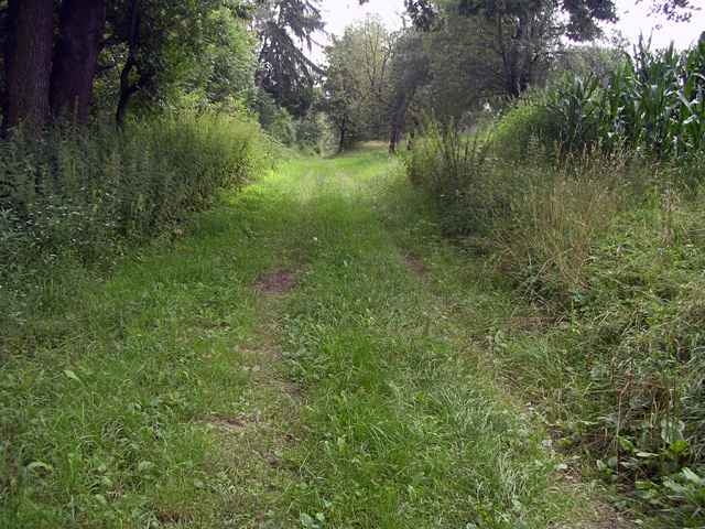
Start der Tour ist das Golfzentrum in Neudauberg. Der Weg führt entlang der Straße bis zum Kuruzzenheurigen. Die Bundesstraße queren und vorbei am neuen Aussichtsturm immer der Höhenstrasse entlang. Herrliches Panorama auf das Lafnitztal. Weiter über gepflegte Waldwege bis zum Fischteich ins Gmoos. Den Erlenwald entlang bis zur Hubertuskapelle. Weiter über Waldwege entlang des Wildgeheges zum Gasthof Trummer (Bundesstraße). Von dort wieder zurück auf der Straße zum Golfzentrum.
Further information at
http://www.golfschaukel.atTour gallery
Tour map and elevation profile
Minimum height 256 m
Maximum height 359 m
More about the tour author

|
stegersbach |
Comments

Über die Abfahrt A2 Lafnitztal/Oberwart von Wien kommend, sowie A2 Ilz/Fürstenfeld von Graz kommend.
GPS tracks
Trackpoints-
GPX / Garmin Map Source (gpx) download
-
TCX / Garmin Training Center® (tcx) download
-
CRS / Garmin Training Center® (crs) download
-
Google Earth (kml) download
-
G7ToWin (g7t) download
-
TTQV (trk) download
-
Overlay (ovl) download
-
Fugawi (txt) download
-
Kompass (DAV) Track (tk) download
-
Track data sheet (pdf) download
-
Original file of the author (g7t) download
More about the tour author
|
|
stegersbach |
Add to my favorites
Remove from my favorites
Edit tags
Open track
My score
Rate