


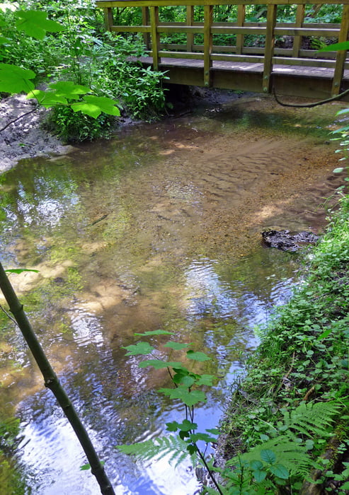
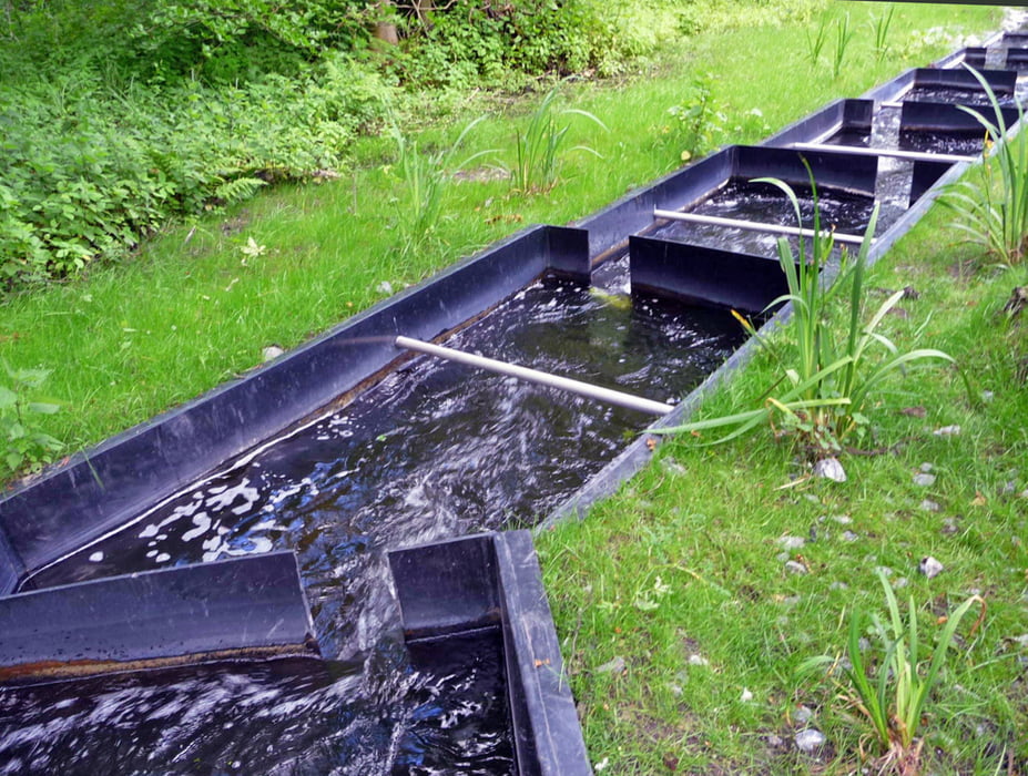
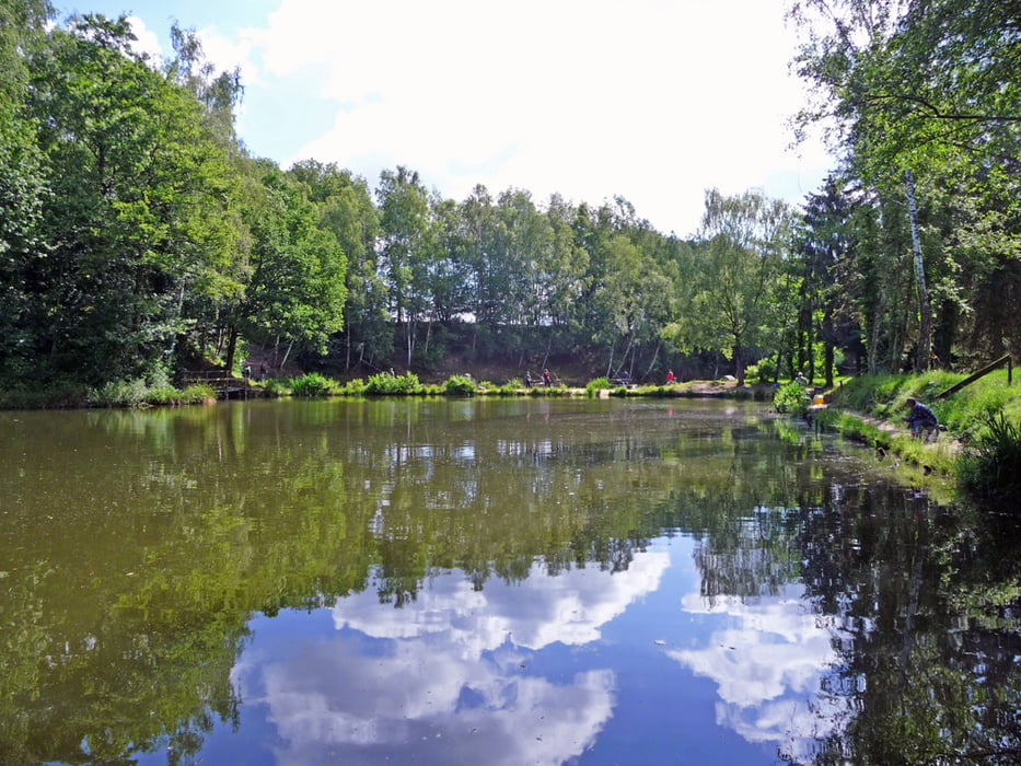
Abwechslungsreiche Strecke in Form einer "liegenden Acht" u. a. durch das Quellgebiet der Schwalm an der Molzmühle und an der Holtmühle vorbei nach Wegberg - Da ein Teil der Strecke asphaltiert ist, sollte man Asphalt-Pads für die Nordic-Walking-Stöcke dabei haben.
Tour gallery
Tour map and elevation profile
Minimum height 48 m
Maximum height 111 m
More about the tour author
|
|
hadihe |
Comments

Von der Dülkener Straße (L 3 - Landstraße zwischen Schwalmtal und Rickelrath) rechts ab in die Sraße nach Lüttelforst (K 29). Nach ca. 300 m liegt rechts ein ausgeschilderter Wanderparkplatz.
Die Tour kann auch am Bahnhof Wegberg begonnen werden.
GPS tracks
Trackpoints-
GPX / Garmin Map Source (gpx) download
-
TCX / Garmin Training Center® (tcx) download
-
CRS / Garmin Training Center® (crs) download
-
Google Earth (kml) download
-
G7ToWin (g7t) download
-
TTQV (trk) download
-
Overlay (ovl) download
-
Fugawi (txt) download
-
Kompass (DAV) Track (tk) download
-
Track data sheet (pdf) download
-
Original file of the author (gpx) download
More about the tour author
|
|
hadihe |
Add to my favorites
Remove from my favorites
Edit tags
Open track
My score
Rate