


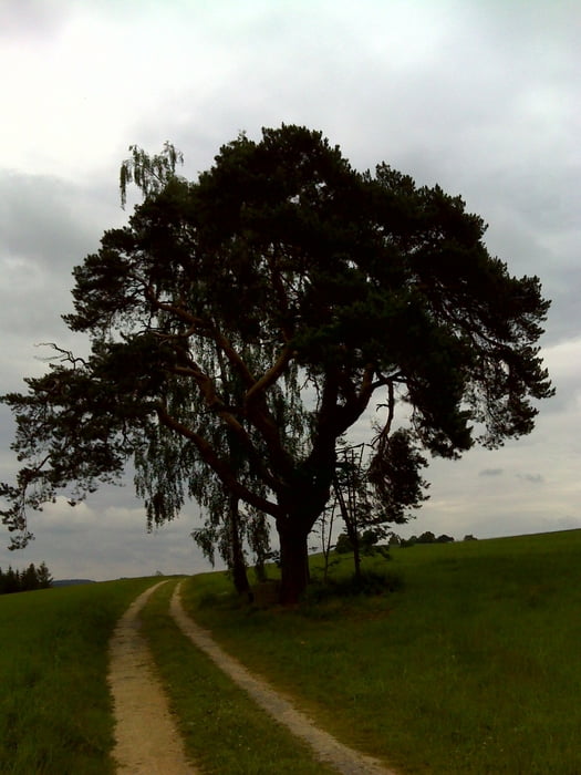
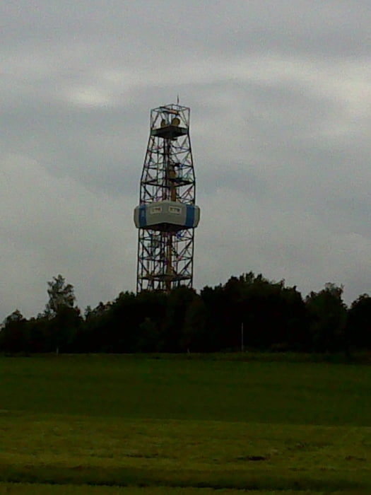
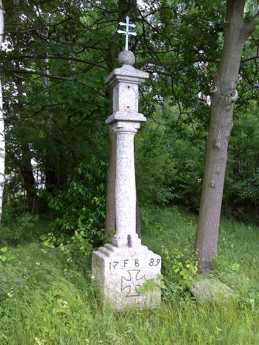
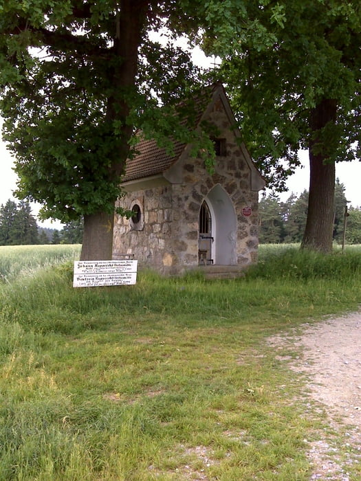
Ausgangspunkt für die Rundwanderung ist der Stadtplatz in Windischeschenbach von hier aus geht es nach Berg und über Naabdemenreuth nach Trautenberg von dort über Lehen und Pleisdorf zurück zum Ausgangspunkt. Die Tour führt an vielen sehenswerten Flurdenkmälern und Kapellen vorbei. Die Wege sind gut befestigt und somit bei jedem Wetter gut begehbar. Der Anteil an Teerstraßen hält sich in grenzen.
Tour gallery
Tour map and elevation profile
Minimum height 445 m
Maximum height 526 m
More about the tour author

|
vollgashias |
Comments

Windischeschenbach, Parkmöglichkeiten am Stadtplatz oder am Ortseingang bei der Erbendorfer Straße.
GPS tracks
Trackpoints-
GPX / Garmin Map Source (gpx) download
-
TCX / Garmin Training Center® (tcx) download
-
CRS / Garmin Training Center® (crs) download
-
Google Earth (kml) download
-
G7ToWin (g7t) download
-
TTQV (trk) download
-
Overlay (ovl) download
-
Fugawi (txt) download
-
Kompass (DAV) Track (tk) download
-
Track data sheet (pdf) download
-
Original file of the author (gpx) download
More about the tour author
|
|
vollgashias |
Add to my favorites
Remove from my favorites
Edit tags
Open track
My score
Rate