


Stand Juni 2012
Route 1 und 2 noch nicht richtig gefunden - keine Markierungen
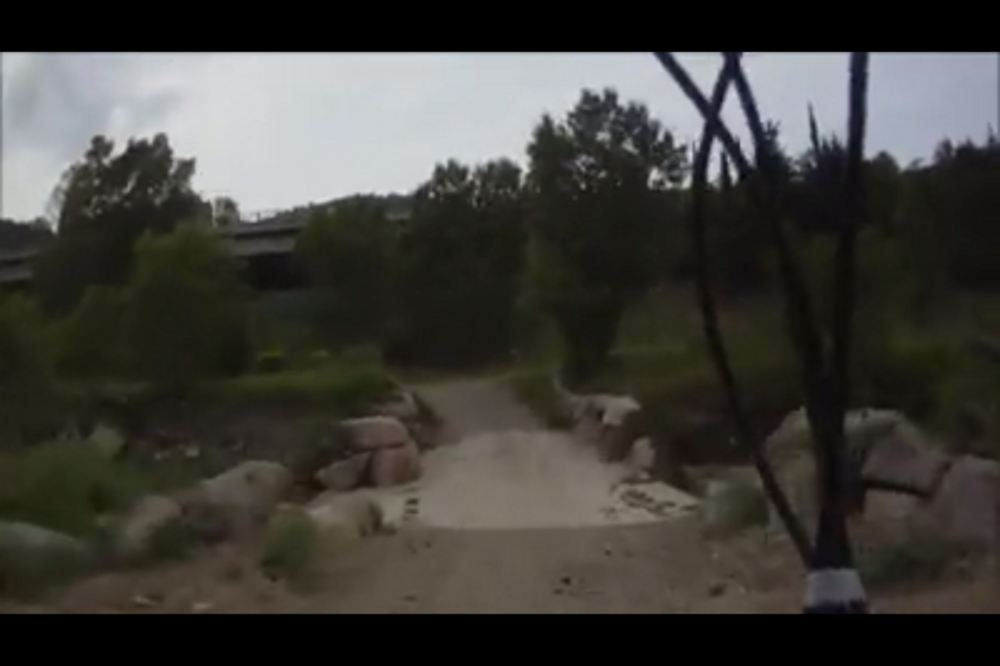
Route 7 hat eine Baustelle am unteren Teil und ist somit nicht befahrbar (ausser am Sonntag an dem die Bagger nicht arbeiteten), am oberen Teil ist die Abbiegung schwer zu finden. An dieser Stelle kann einige 100m auch nur geschoben werden - kaum Markierungen und es fehlen an wichtigen Stellen.
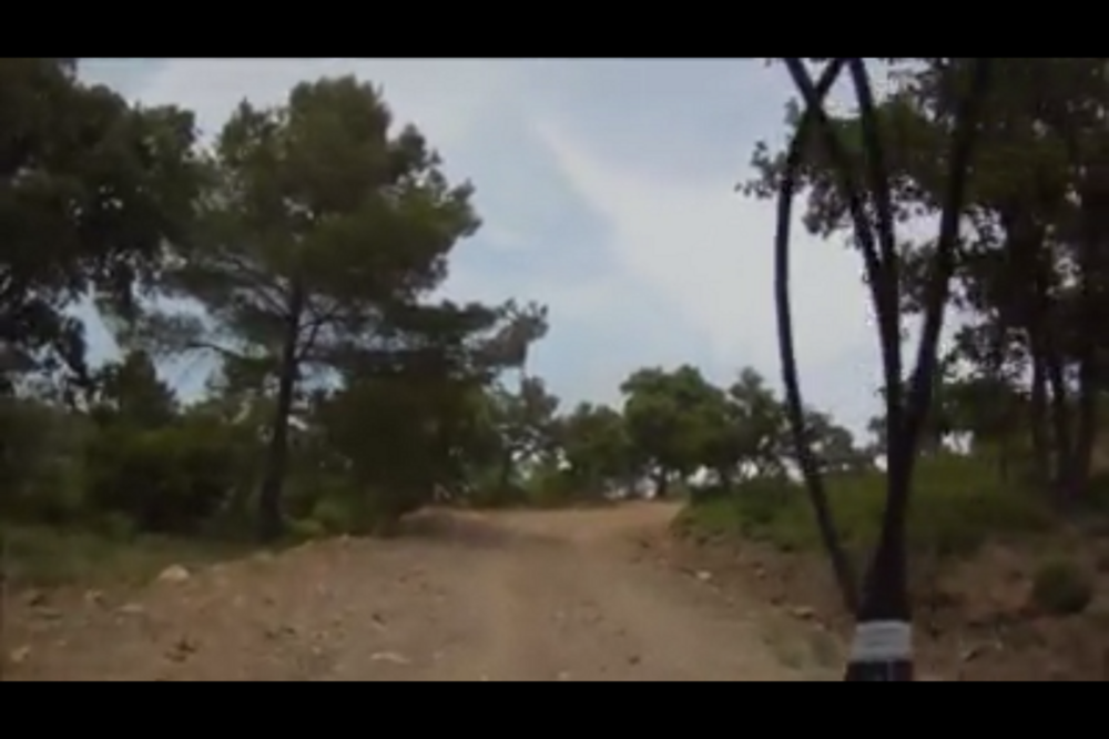
Route 5 ist die einzig befahrbare Route. Einigermaßen Markierungen vorhanden, wenn auch viele defekt und schlecht erkennbar.
Route 6 ist eine Kombination aus dem oberen Teil der Route 7 (schlecht markiert, oder gar nicht) und der Route 5 die gut befahrbar ist. — in Fréjus, Provence-Alpes-Cote d'Azur.
Route 7 hat eine Baustelle am unteren Teil und ist somit nicht befahrbar (ausser am Sonntag an dem die Bagger nicht arbeiteten), am oberen Teil ist die Abbiegung schwer zu finden. An dieser Stelle kann einige 100m auch nur geschoben werden - kaum Markierungen und es fehlen an wichtigen Stellen.
Route 5 ist die einzig befahrbare Route. Einigermaßen Markierungen vorhanden, wenn auch viele defekt und schlecht erkennbar.
Route 6 ist eine Kombination aus dem oberen Teil der Route 7 (schlecht markiert, oder gar nicht) und der Route 5 die gut befahrbar ist. — in Fréjus, Provence-Alpes-Cote d'Azur.
Further information at
http://www.facebook.com/video/video.php?v=424180430946590Tour gallery


Tour map and elevation profile
Minimum height -23 m
Maximum height 273 m
More about the tour author
|
|
mrosskopf |
Comments

GPS tracks
Trackpoints-
GPX / Garmin Map Source (gpx) download
-
TCX / Garmin Training Center® (tcx) download
-
CRS / Garmin Training Center® (crs) download
-
Google Earth (kml) download
-
G7ToWin (g7t) download
-
TTQV (trk) download
-
Overlay (ovl) download
-
Fugawi (txt) download
-
Kompass (DAV) Track (tk) download
-
Track data sheet (pdf) download
-
Original file of the author (tcx) download
More about the tour author
|
|
mrosskopf |
Add to my favorites
Remove from my favorites
Edit tags
Open track
My score
Rate