


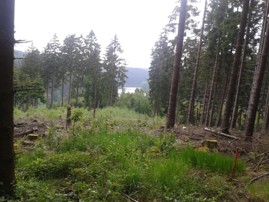
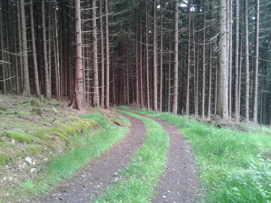
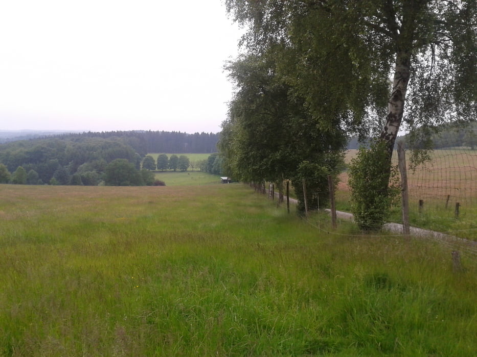
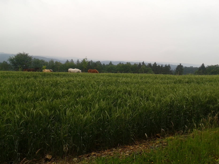
Start in der Falkenstraße mit Zweitstart in der Humboldtstraße, über Leyer Sonnenschein ins Bolsenbachtal und weiter Ri. Ennepesperre bis kurz vor dem Vorstaubecken, hier nach re. hoch Ri. Kamscheid über neuen Weg und weiter über Kreisch zur L 528. Nach li. Ri. Glörfeld, im Ort nach re. Ri. Magdheide, hinunter nach Heerenfelde, im Tal nach re. und nach einigen hundert Metern nach li. hoch nach Schöneberge, weiter nach re. bis zum Beginn des Waldes, hier nach li. und hinunter nach Nieder Hürxtal, bis zur L 528, weiter in die Stadt und dann nach Hause.
Tour gallery


Tour map and elevation profile
Minimum height 308 m
Maximum height 467 m
More about the tour author
|
|
neuser |
Comments

GPS tracks
Trackpoints-
GPX / Garmin Map Source (gpx) download
-
TCX / Garmin Training Center® (tcx) download
-
CRS / Garmin Training Center® (crs) download
-
Google Earth (kml) download
-
G7ToWin (g7t) download
-
TTQV (trk) download
-
Overlay (ovl) download
-
Fugawi (txt) download
-
Kompass (DAV) Track (tk) download
-
Track data sheet (pdf) download
-
Original file of the author (gpx) download
More about the tour author
|
|
neuser |
Add to my favorites
Remove from my favorites
Edit tags
Open track
My score
Rate