


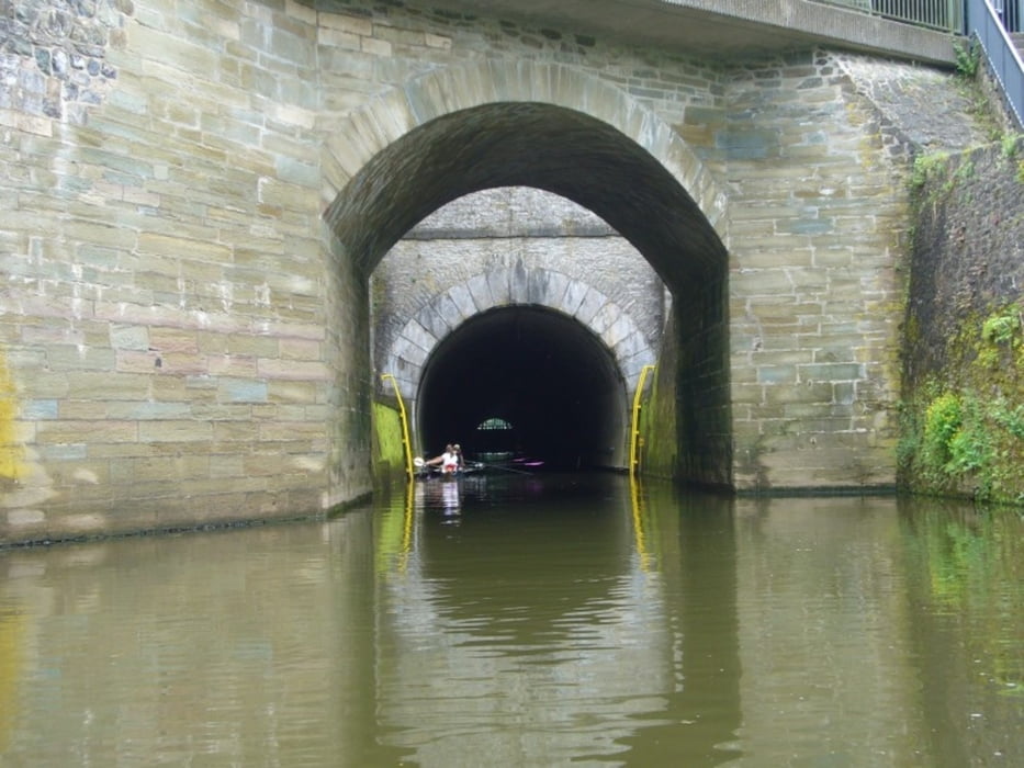
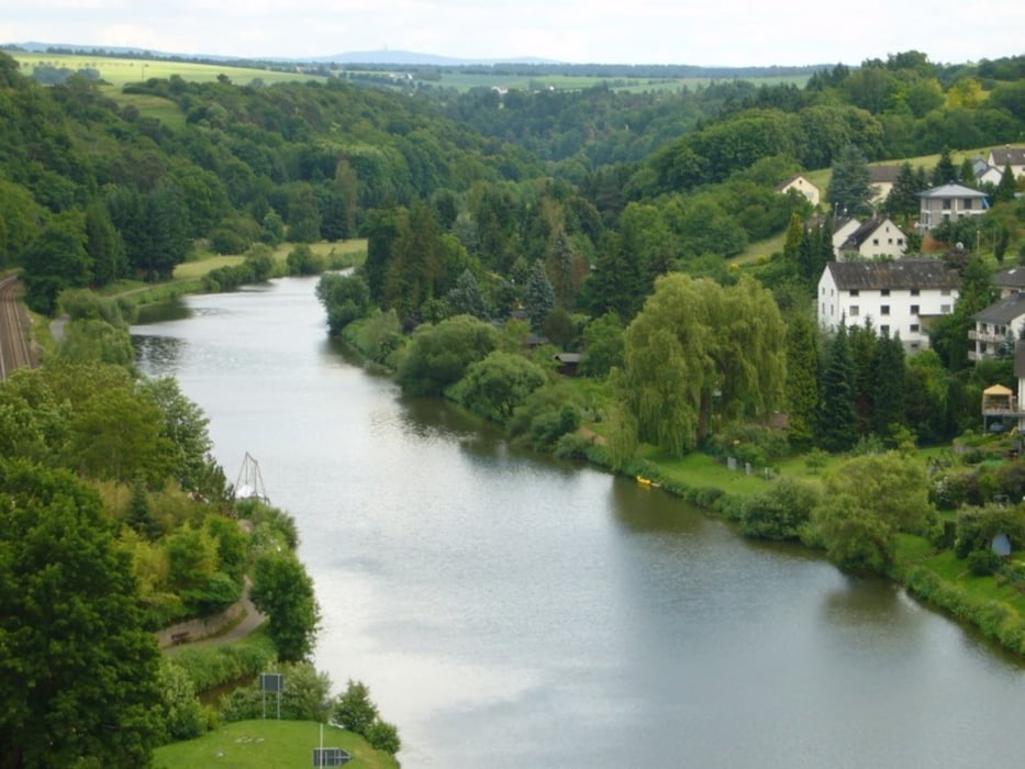
Landschaftlich sehr reizvolle 3-Tagestour.
Tag 1:
Leun - Gräveneck
22,7 km; 4h30min
Übernachtung:
Landgasthof zum Lahnfelsen
Lahnstr. 38a
35796 Weinbach Gräveneck
Tel.:06471 4886
Tag 2:
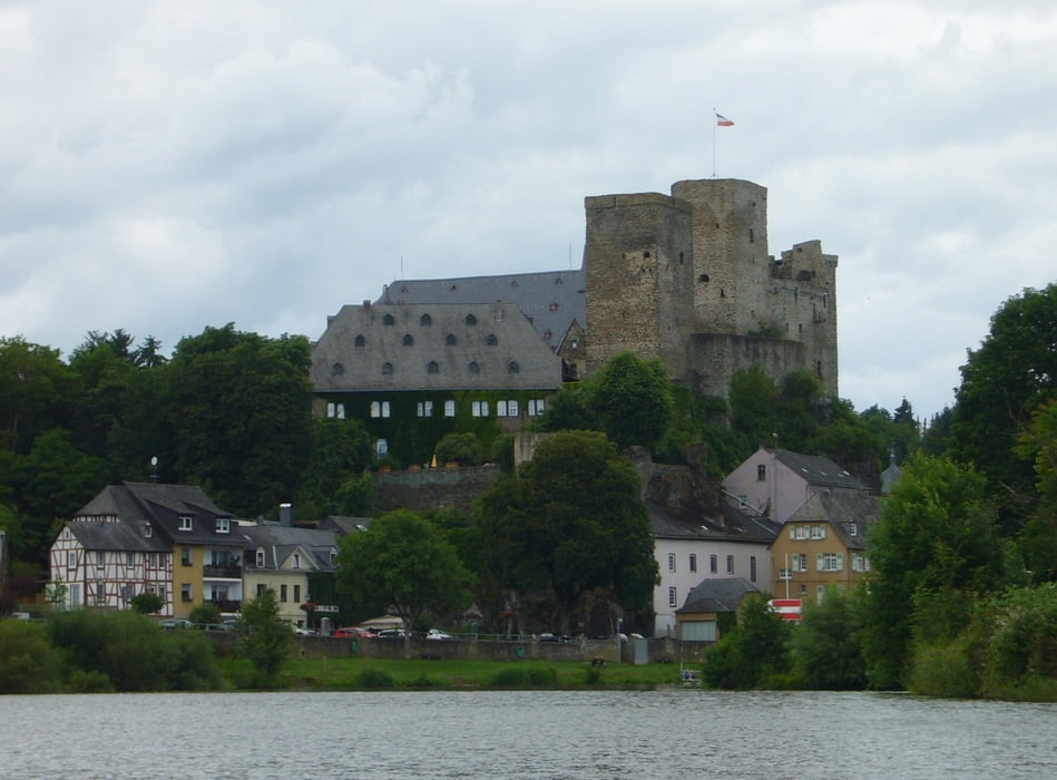
Gräveneck - Runkel
18 km: 4h
Übernachtung:
Ferienwohnung Emmel
Zu Wenigvillmar 2
65594 Runkel
Tel.: 06482 911880
Tag 3:
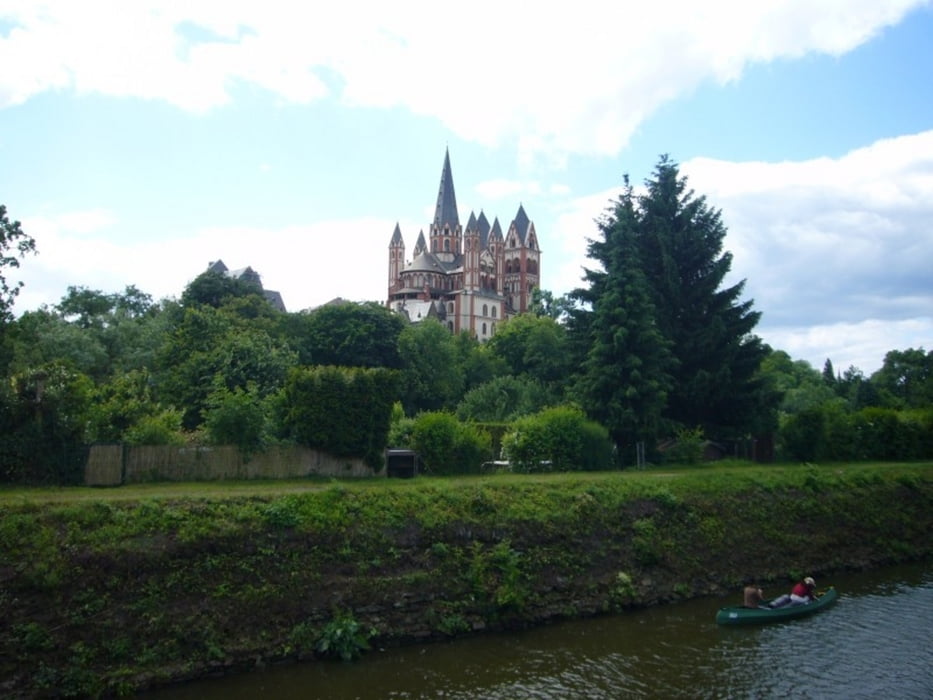
Runkel - Limburg
9,8 km; 2h30min
Rückfahrt:
Per Bahn vom Bahnhof Limburg mit dem Kanuticket (3,20 €, nur beim Bootsverleiher erhältlich)
Gebucht über:
http://www.kanu-lahn-dill.de
(Anmerkung: Die Höhenmeter im Abstieg betragen nur 26 m)
Further information at
http://de.wikipedia.org/wiki/LahnTour gallery
Tour map and elevation profile
Minimum height 59 m
Maximum height 189 m
More about the tour author

|
grenz-pfad-fahrer |
Comments
Der Bahnhof Leun ist der Startpunkt. Parkplätze sind ausreichend vorhanden.
GPS tracks
Trackpoints-
GPX / Garmin Map Source (gpx) download
-
TCX / Garmin Training Center® (tcx) download
-
CRS / Garmin Training Center® (crs) download
-
Google Earth (kml) download
-
G7ToWin (g7t) download
-
TTQV (trk) download
-
Overlay (ovl) download
-
Fugawi (txt) download
-
Kompass (DAV) Track (tk) download
-
Track data sheet (pdf) download
-
Original file of the author (gpx) download
More about the tour author
|
|
grenz-pfad-fahrer |
Add to my favorites
Remove from my favorites
Edit tags
Open track
My score
Rate
Lahn