Login

Forgot your login?

Cookies have to be accepted!
Your browser's cookie functionality is disabled. Please enable this functionality.

Not a member yet?

Register now
Login

Available for registred users only

Log in to use this feature.

Forgot your login?

Cookies have to be accepted!
Your browser's cookie functionality is disabled. Please enable this functionality.

Not a member yet?

Register now
Filter
Categories
Advanced filters
  • Distance (km)
  • Height
Save filters Reset filter

TrackRank

QRCode

Technical data

Distance4,7 km Height129 m Way down121 m Duration00:00 h:m Date14.06.2012
Scores Author User Landscape Fun factor Fitness Technique

Statistics

396 Views 1 Score 29 Downloads 3.00 Average
Rate
  • Track data sheet
  • Directions
  • Downloads
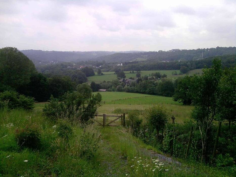
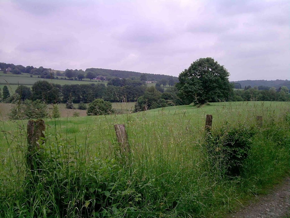
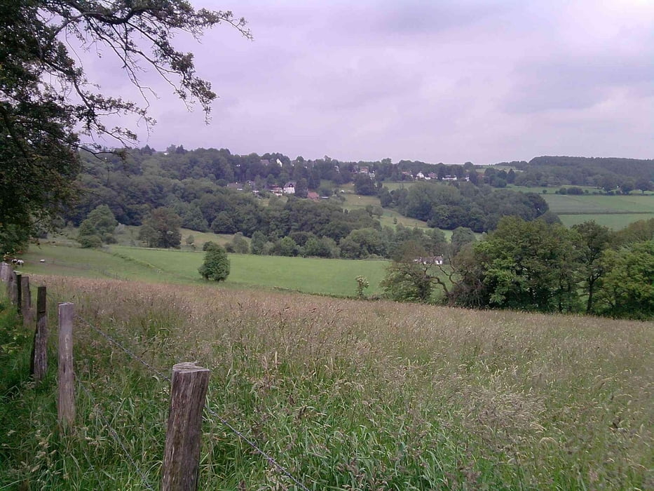
Nette kleine Runde am Rande Solingens in reizvoller Landschaft.

Further information at

http://uerigefan.oyla.de

Tour gallery

Tour map and elevation profile

  • Open Street Map
  • Google
Minimum height 124 m Maximum height 248 m Detailed view

More about the tour author

Uerigefan
Member since 2009

Send private message

Comments

Buscher Feld, Solingen

GPS tracks

Trackpoints
  • GPX / Garmin Map Source (gpx) download
  • TCX / Garmin Training Center® (tcx) download
  • CRS / Garmin Training Center® (crs) download
  • Google Earth (kml) download
  • G7ToWin (g7t) download
  • TTQV (trk) download
  • Overlay (ovl) download
  • Fugawi (txt) download
  • Kompass (DAV) Track (tk) download
  • Track data sheet (pdf) download
  • Original file of the author (gpx) download

More about the tour author

Uerigefan
Member since 2009

Send private message
Share track
Add to my favorites
Remove from my favorites
Edit tags
My score
Rate
Track: Buscher Feld - Kohlfurt Runde am Rande Solingens
Type: Hiking
Distance: 4,7 km
Evaluated on:
Duration:
Day(s)
Hour(s)
Minute(s)
Score: Landscape Fun factor Fitness Technique