


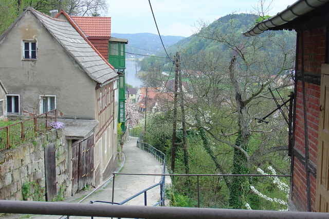
Unser Ausgangspunkt war Hohnstein. Erster Stopp war auf der Bastei. Weiter nach Stadt Wehlen an der Elbe. Über Copitz, Lohmen und Dobra zum nächsten Halt auf der Burg Stolpen. Von da zum Ausgangspunkt Hohnstein zurück.
Aufgezeichnet am 02.05.2006
Meist ruhige Landstraße aber auch befestigte Waldwege
Empfiehlt sich als Abstecher vom Elberadweg aus.
Aufgezeichnet am 02.05.2006
Meist ruhige Landstraße aber auch befestigte Waldwege
Empfiehlt sich als Abstecher vom Elberadweg aus.
Further information at
http://www.nationalpark-saechsische-schweiz.de/red5/radfahren/Tour gallery
Tour map and elevation profile
Minimum height 123 m
Maximum height 365 m
More about the tour author
|
|
Poersi |
Comments

Regionalbahnanschluß besteht in Lohmen
GPS tracks
Trackpoints-
GPX / Garmin Map Source (gpx) download
-
TCX / Garmin Training Center® (tcx) download
-
CRS / Garmin Training Center® (crs) download
-
Google Earth (kml) download
-
G7ToWin (g7t) download
-
TTQV (trk) download
-
Overlay (ovl) download
-
Fugawi (txt) download
-
Kompass (DAV) Track (tk) download
-
Track data sheet (pdf) download
-
Original file of the author (gpx) download
More about the tour author
|
|
Poersi |
Add to my favorites
Remove from my favorites
Edit tags
Open track
My score
Rate