


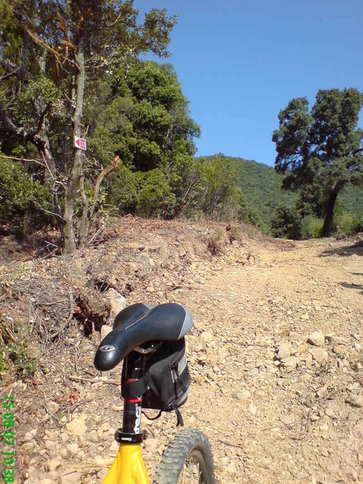
Scarlino/Vallicella - Scarlino (durch das Dorf) - Strasse bis Burgparkplatz, dann in Weg 34 einschwenken (z.T. sehr steil, loser Untergrund) - an Kreuzung Richtung Bocca de la Neve folgen - bis Weggabelung, dann auf Weg 33 abbiegen (steil abwärts, loser Untegrund) - beim Verlassen des Waldgebiets auf geteertem Feldweg bis SS322 - SS322 bis Kreuzung mit Ampel folgen(sobald diese Strasse in steilere Rampe übergeht, kann links neben der Strasse ein Trail alternativ - Sand, Steine, Wurzeln - befahren werden) - nach Scarlino abbiegen - Scarlino
Tour gallery
Tour map and elevation profile
Minimum height -4 m
Maximum height 419 m
More about the tour author

|
JV |
Comments

GPS tracks
Trackpoints-
GPX / Garmin Map Source (gpx) download
-
TCX / Garmin Training Center® (tcx) download
-
CRS / Garmin Training Center® (crs) download
-
Google Earth (kml) download
-
G7ToWin (g7t) download
-
TTQV (trk) download
-
Overlay (ovl) download
-
Fugawi (txt) download
-
Kompass (DAV) Track (tk) download
-
Track data sheet (pdf) download
-
Original file of the author (gpx) download
More about the tour author
|
|
JV |
Add to my favorites
Remove from my favorites
Edit tags
Open track
My score
Rate