


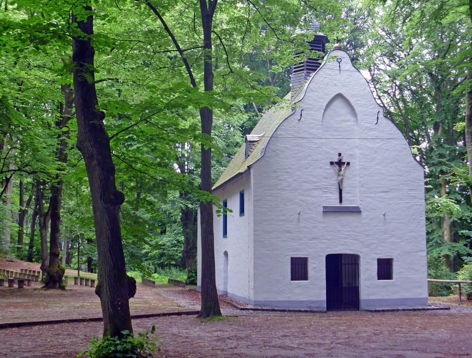
Die Strecke kombiniert weitestgehend zwei ausgeschilderte Nordic-Walking-Pisten (blau 2 und schwarz) und beginnt am Parkplatz des weithin sichtbaren Dülkener Wasserturms "Windrose".
Sie folgt zunächst dem Zeichen blau 2 (s. Foto) zu den Süchtelner Höhen bis man auf das schwarze Zeichen (s. Foto) stößt, dem man nun konsequent folgt, bis man wieder zur Einstiegsstelle zurückkommt. Hier folgt man wieder dem Zeichen blau 2, das uns zur Windrose zurückführt.
Die schwarze Piste erfordert etwas Kondition, wiel sie kein Gefälle und keine Steigung der Süchtelner Höhen auslässt.
Tour gallery

Tour map and elevation profile
Minimum height 60 m
Maximum height 123 m
More about the tour author
|
|
hadihe |
Comments

Von Viersen oder der BAB 61 Ausfahrt 7 kommend auf der B 7 Richtung Dülken. In Höhe der ARAL-Tankstelle rechts und nach überqueren des beschrankten Bahnübergangs rechts bis zum Wasserturm "Windrose". Dort gibt es ausreichend Parkplätze.
GPS tracks
Trackpoints-
GPX / Garmin Map Source (gpx) download
-
TCX / Garmin Training Center® (tcx) download
-
CRS / Garmin Training Center® (crs) download
-
Google Earth (kml) download
-
G7ToWin (g7t) download
-
TTQV (trk) download
-
Overlay (ovl) download
-
Fugawi (txt) download
-
Kompass (DAV) Track (tk) download
-
Track data sheet (pdf) download
-
Original file of the author (gpx) download
More about the tour author
|
|
hadihe |
Add to my favorites
Remove from my favorites
Edit tags
Open track
My score
Rate