


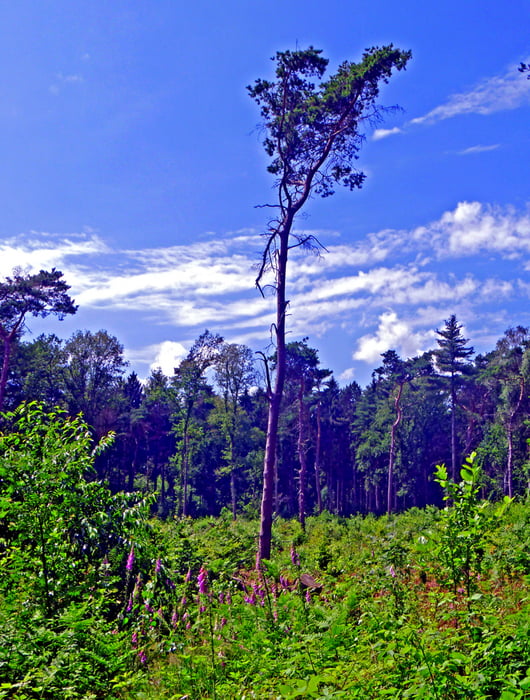
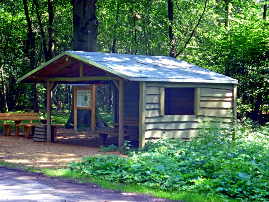
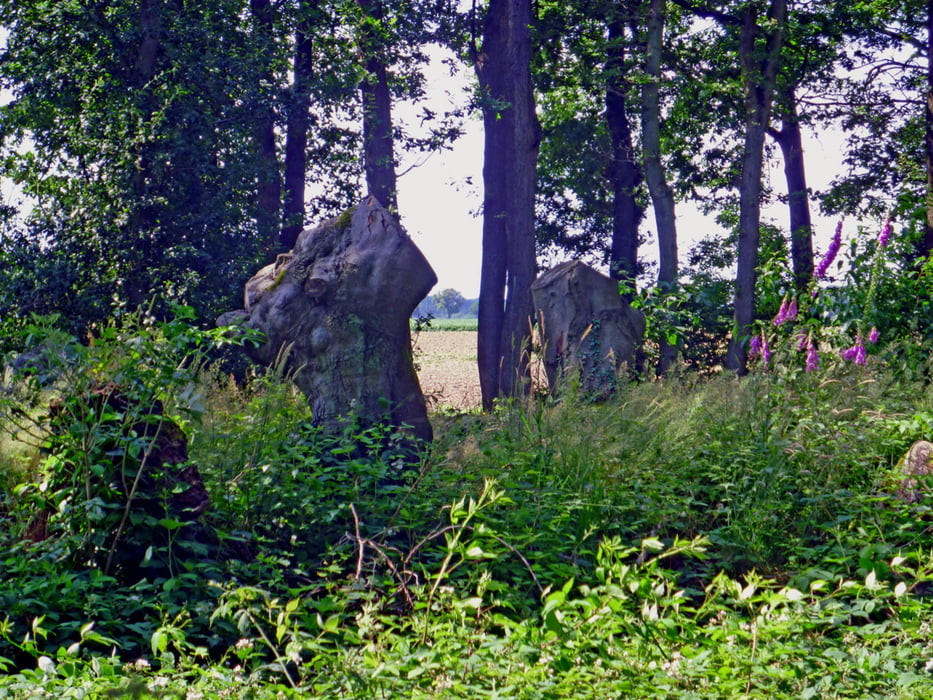
Sehr schöne Rundstrecke durch und um den Hardter Wald zu beiden Seiten der Hardter Landstraße.
Tour gallery
Tour map and elevation profile
Minimum height 64 m
Maximum height 103 m
More about the tour author
|
|
hadihe |
Comments

Von der BAB 52 Ausfahrt 6 (Mönchengladbach-Hardt) auf der Hardter Landstraße (L 39) kommend ca. 800 m nach Queren der beampelten Kreuzung rechts in das kleine Sträßchen "Am Kirschbaum" - nach atwa 250 m liegt links der Wanderparkplatz Wilhem Kliewer Haus -> Start- und Zielpunkt
GPS tracks
Trackpoints-
GPX / Garmin Map Source (gpx) download
-
TCX / Garmin Training Center® (tcx) download
-
CRS / Garmin Training Center® (crs) download
-
Google Earth (kml) download
-
G7ToWin (g7t) download
-
TTQV (trk) download
-
Overlay (ovl) download
-
Fugawi (txt) download
-
Kompass (DAV) Track (tk) download
-
Track data sheet (pdf) download
-
Original file of the author (gpx) download
More about the tour author
|
|
hadihe |
Add to my favorites
Remove from my favorites
Edit tags
Open track
My score
Rate