
")

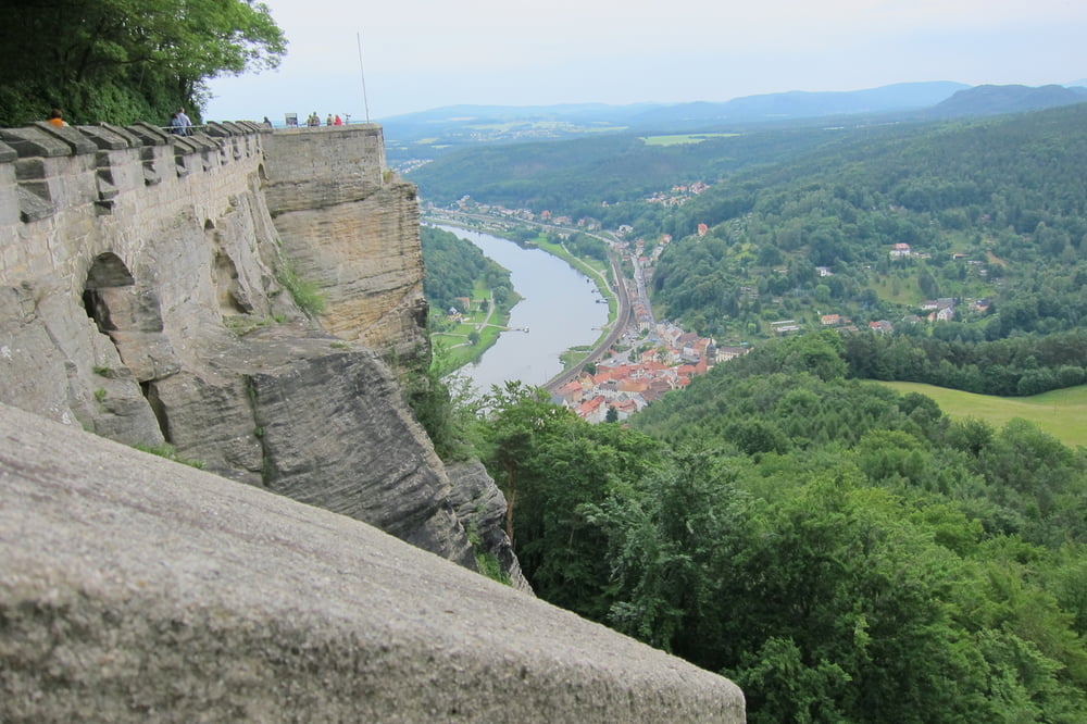
Von Königstein laufen wir über Treppen und Fußweg (Malerweg) zur Festung. Eintritt 8€ pro Person und der Panoramalift bringt uns nach oben. Ein Rundweg auf den Befestigungsmauern mit tollen Ausblicken auf Elbe und Landschaft. Wir besichtigen die einzelnen Gebäude und Wandern wieder nach Königstein zurück.
Further information at
http://de.wikipedia.org/wiki/Festung_K%C3%B6nigsteinTour gallery


Tour map and elevation profile
Minimum height 117 m
Maximum height 392 m
More about the tour author
|
|
W-C |
Comments

Von Bad Schandau B172 kommend, in Königstein abbiegen auf die S171 Bielatalstraße. Kleiner kostenloser Parkplatz an der Straße. Wenn dieser belegt ist, 200m vorher ist ein größerer gebührenpflichtiger Parkplatz.
Parkplatz - Koordinaten für dein Navigationsgerät
gebührenfreier Parkplatz
N 50° 54. 893´
E 14° 04. 276´
gebührenpflichtiger Parkplatz
N 50° 54. 989´
E 14° 04. 356´
GPS tracks
Trackpoints-
GPX / Garmin Map Source (gpx) download
-
TCX / Garmin Training Center® (tcx) download
-
CRS / Garmin Training Center® (crs) download
-
Google Earth (kml) download
-
G7ToWin (g7t) download
-
TTQV (trk) download
-
Overlay (ovl) download
-
Fugawi (txt) download
-
Kompass (DAV) Track (tk) download
-
Track data sheet (pdf) download
-
Original file of the author (gpx) download
More about the tour author
|
|
W-C |
Add to my favorites
Remove from my favorites
Edit tags
Open track
My score
Rate