
")

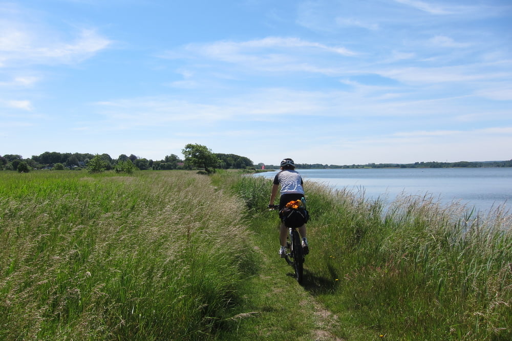
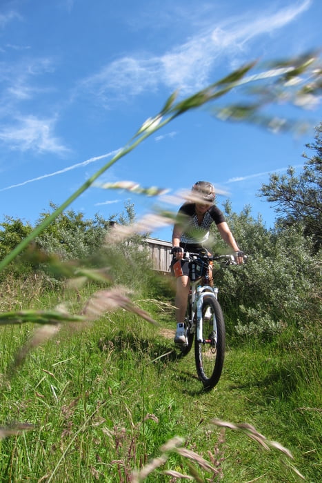
Ca. 1/3 der Tour ist MTB würdig. Die anderen 2/3 auf Radwegen in schöner Landschaft.
Wegbeschaffenheit: meist auf Asphalt, Feld und Waldwege, Kies und Schotter
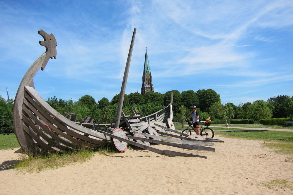
Wegbeschreibung: Der Start ist in Kappeln am Parkplatz der Schleibrücke - Kopperby - Mühlenholz - Winnemark - Steinerholzer Wald - Sieseby - Kriesebyau - Jahnholz Wald - Bohnert - Omum - Missunder Wald - Weseby - Borgwedel - Fahrdorf - Schleswig - zum Naturbeobachtungspunkt - Füsing - Broderby - Goltoft - Hestoft - Ulsnis - Kius - Lindau - Lindauis - Ketelsby - Ekenisfeld - Grödersby - Arnis - Kappeln
Further information at
http://www.kappeln-touristik.de/Tour gallery

Tour map and elevation profile
Minimum height -8 m
Maximum height 35 m
More about the tour author
|
|
W-C |
Comments

Von der A7 kommend auf die B77, B76, B203 nach Kappeln, Eckenförder Straße 1
Parkplatz - Koordinaten für dein Navigationsgerät
N 54° 39. 599´
E 9° 56. 408´
GPS tracks
Trackpoints-
GPX / Garmin Map Source (gpx) download
-
TCX / Garmin Training Center® (tcx) download
-
CRS / Garmin Training Center® (crs) download
-
Google Earth (kml) download
-
G7ToWin (g7t) download
-
TTQV (trk) download
-
Overlay (ovl) download
-
Fugawi (txt) download
-
Kompass (DAV) Track (tk) download
-
Track data sheet (pdf) download
-
Original file of the author (gpx) download
More about the tour author
|
|
W-C |
Add to my favorites
Remove from my favorites
Edit tags
Open track
My score
Rate