


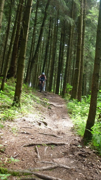
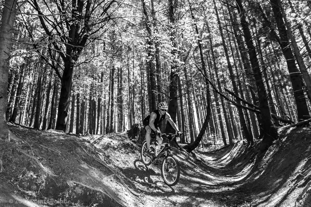
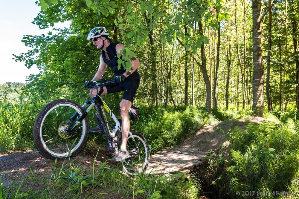
Schöne Tour beginnend in Augsburg/Lechhausen. Der Track enthält die Anfahrt zu 2 bis 3 Wurzeltrails, die richtig Spaß machen. Für die Trails braucht es eine gute Beherrschung des Bikes, also probiert es aus... :)
Der Englshof und die Augsburger Hütte liegen ebenfalls auf diesem Track.
Ansonsten ist der Kurs ein gutes Grundlagentraining. Es sind 2 Anstiege dabei die echte "Zieher" sind...
Update 11.06.2017
Mit He mal in der Gegenrichtung gefahren und ein paar Fotos gemacht/eingepflegt.
Tour gallery
Tour map and elevation profile
Minimum height 470 m
Maximum height 568 m
More about the tour author
|
|
Pointer |
Comments

Keine, direkt starten und wieder ankommen in Augsburg Lechhausen.
GPS tracks
Trackpoints-
GPX / Garmin Map Source (gpx) download
-
TCX / Garmin Training Center® (tcx) download
-
CRS / Garmin Training Center® (crs) download
-
Google Earth (kml) download
-
G7ToWin (g7t) download
-
TTQV (trk) download
-
Overlay (ovl) download
-
Fugawi (txt) download
-
Kompass (DAV) Track (tk) download
-
Track data sheet (pdf) download
-
Original file of the author (gpx) download
More about the tour author
|
|
Pointer |
Add to my favorites
Remove from my favorites
Edit tags
Open track
My score
Rate