Login

Forgotten password?

Cookies have to be accepted!
Your browser's cookie functionality is disabled. Please enable this functionality.

Not a member yet?

Register now
Login

Available for registred users only

Log in to use this feature.

Forgotten password?

Cookies have to be accepted!
Your browser's cookie functionality is disabled. Please enable this functionality.

Not a member yet?

Register now
Filter
Categories
Advanced filters
  • Distance (km)
  • Height
Save filters Reset filter

TrackRank

QRCode

Technical data

Distance44,5 km Height416 m Way down387 m Duration02:00 h:m Date18.07.2012
Scores Author Landscape Fun factor Fitness Technique

Statistics

478 Views Scores 39 Downloads Average
Rate
  • Track data sheet
  • Directions
  • Downloads

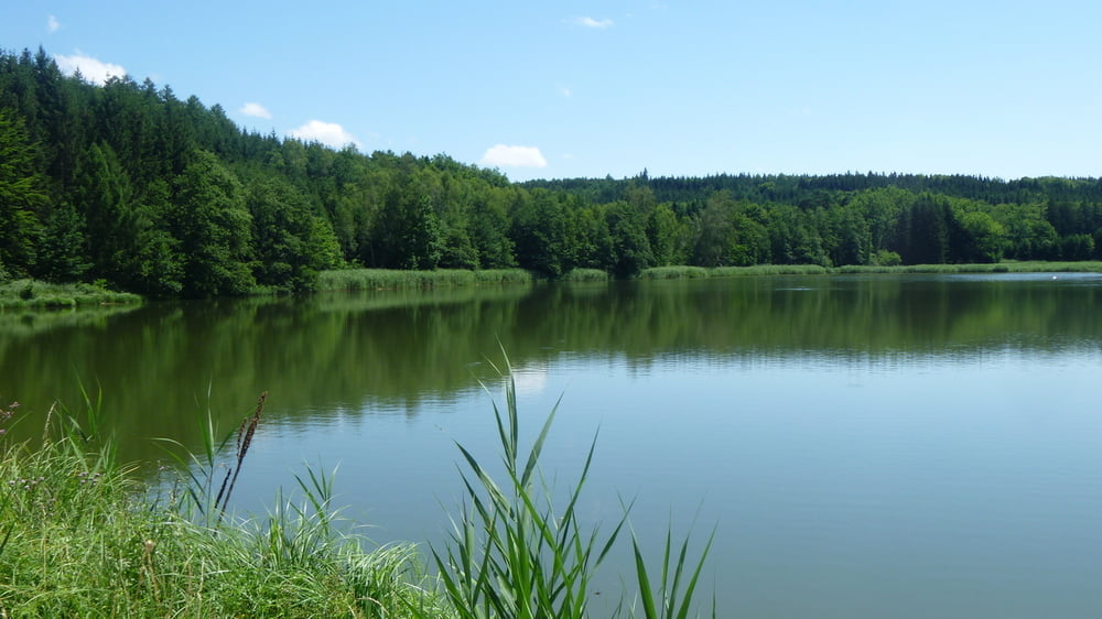
Eine weitere Variante, diesesmal mit 2 knackigen Anstiegen und einem kurzen aber heftigen Downhill im Wald, der dürfte bei ca. 30 % liegen, der Rest geht flach dahin.... Viel Spaß :)


Tour map and elevation profile

  • Open Street Map
  • Google
Minimum height 449 m Maximum height 564 m Detailed view

More about the tour author

Pointer
Member since 2008

Send private message

Comments

Keine, direkt starten und wieder ankommen in Augsburg Lechhausen.

GPS tracks

Trackpoints
  • GPX / Garmin Map Source (gpx) download
  • TCX / Garmin Training Center® (tcx) download
  • CRS / Garmin Training Center® (crs) download
  • Google Earth (kml) download
  • G7ToWin (g7t) download
  • TTQV (trk) download
  • Overlay (ovl) download
  • Fugawi (txt) download
  • Kompass (DAV) Track (tk) download
  • Track data sheet (pdf) download
  • Original file of the author (gpx) download

More about the tour author

Pointer
Member since 2008

Send private message
Share track
Add to my favorites
Remove from my favorites
Edit tags
My score
Rate
Track: Schwaben: Westliche Wälder 05 (Rundkurs)
Type: Mountain bike
Distance: 44,5 km
Evaluated on:
Duration:
Day(s)
Hour(s)
Minute(s)
Score: Landscape Fun factor Fitness Technique