
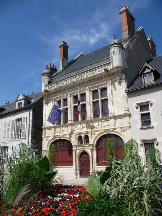

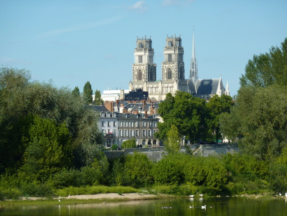
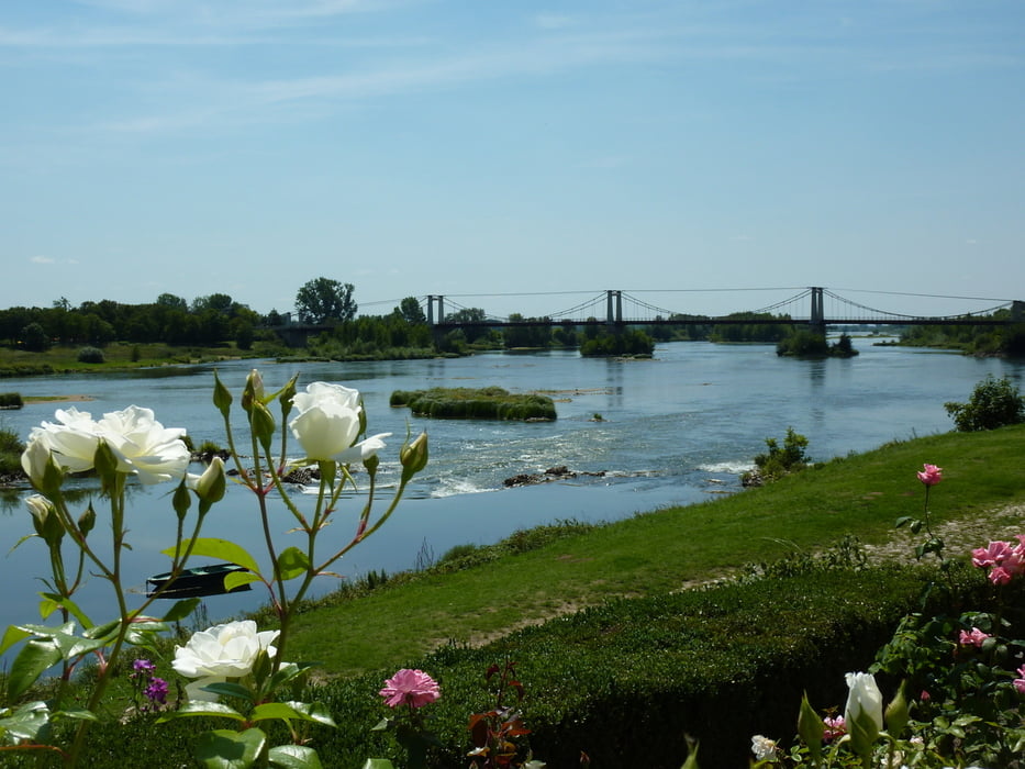
Die Tour startet an unserem Hotel in Cléchy, führt zur Loire vorbei an Orléans flußabwärst auf gut ausgebauten Radwegen teilweise Asphaltiert Richtung Beaugency. Der Radweg wird in La Chapelle Saint Mesmin zu einem schmalen Weg der dafür aber direkt an der Loire einen herlichen Blick über den Fuß zulässt. in Meung-sur-Loire wird der Weg wieder breiter und gut ausgebaut bis Beaugency. Die Altstadt ist recht interessant und die zahlreichen gassen laden zu Entdeckungstouren ein.
Auf dem gleichen weg geht es Loire aufwärts bis Meung-sur-Loire wo wir bis Orléans auf das andere Ufer wechseln.
Weiter geht es wieder zurück nach Cléchy.
Tour gallery
Tour map and elevation profile
Minimum height 79 m
Maximum height 112 m
More about the tour author

|
extrembiker73 |
Comments

GPS tracks
Trackpoints-
GPX / Garmin Map Source (gpx) download
-
TCX / Garmin Training Center® (tcx) download
-
CRS / Garmin Training Center® (crs) download
-
Google Earth (kml) download
-
G7ToWin (g7t) download
-
TTQV (trk) download
-
Overlay (ovl) download
-
Fugawi (txt) download
-
Kompass (DAV) Track (tk) download
-
Track data sheet (pdf) download
-
Original file of the author (gpx) download
More about the tour author
|
|
extrembiker73 |
Add to my favorites
Remove from my favorites
Edit tags
Open track
My score
Rate