
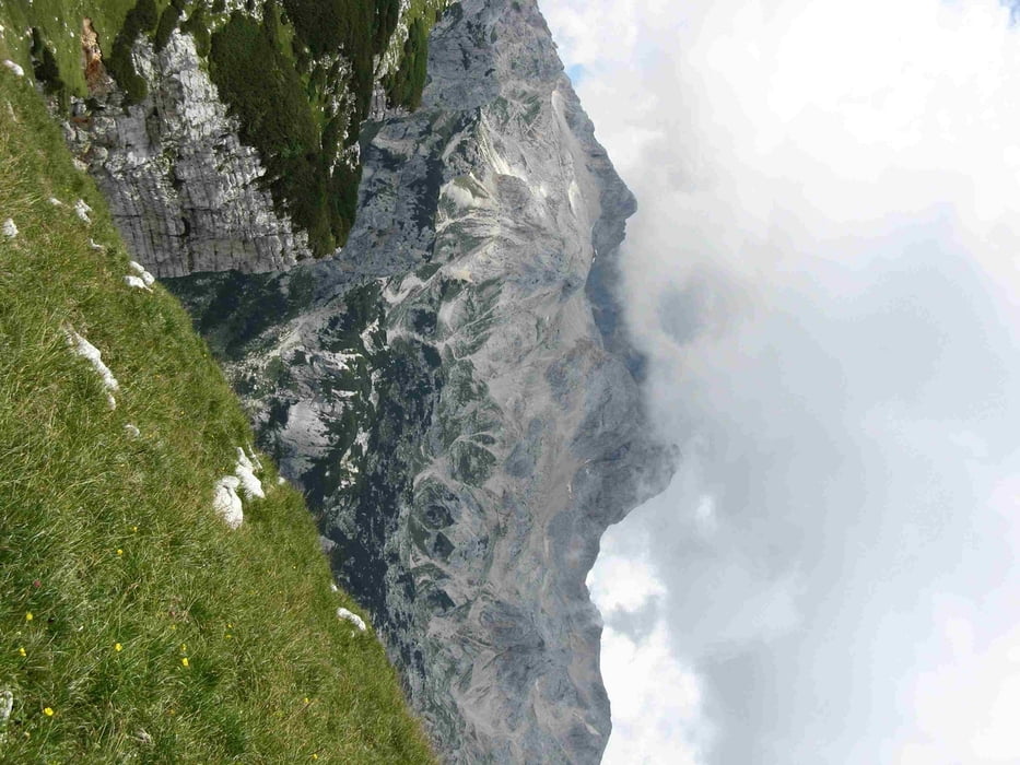

regular mountain walk til Visevnic mountain (2 hours). The highlight is if you pass Mt. Draski round. This is a beautiful path. You shoul not be afraid als there are cables though the wall. Nevertheless only recomended with there is no rain. Starting at top of Visevnic mountain youl'll reach Studorski prevail in about one hour. The walk is opposite the Triglav mountain complex and you have dramatic views to Triglav.. After you reach Studorski prevail then about 1,5 back to starting point.
Tour map and elevation profile
Minimum height 1311 m
Maximum height 2003 m
More about the tour author

|
fammair |
Comments

Comming from Bled or Bohinska Bistrica. Follw good roads to Bitathlon Center. There is plenty of parkin space (no fee)
GPS tracks
Trackpoints-
GPX / Garmin Map Source (gpx) download
-
TCX / Garmin Training Center® (tcx) download
-
CRS / Garmin Training Center® (crs) download
-
Google Earth (kml) download
-
G7ToWin (g7t) download
-
TTQV (trk) download
-
Overlay (ovl) download
-
Fugawi (txt) download
-
Kompass (DAV) Track (tk) download
-
Track data sheet (pdf) download
-
Original file of the author (gpx) download
More about the tour author
|
|
fammair |
Add to my favorites
Remove from my favorites
Edit tags
Open track
My score
Rate