Login

Forgotten password?

Cookies have to be accepted!
Your browser's cookie functionality is disabled. Please enable this functionality.

Not a member yet?

Register now
Login

Available for registred users only

Log in to use this feature.

Forgotten password?

Cookies have to be accepted!
Your browser's cookie functionality is disabled. Please enable this functionality.

Not a member yet?

Register now
Filter
Categories
Advanced filters
  • Distance (km)
  • Height
Save filters Reset filter

TrackRank

QRCode

Technical data

Distance26,9 km Height337 m Way down207 m Duration01:57 h:m Date22.07.2012
Scores Author Landscape Fun factor Fitness Technique

Statistics

125 Views Scores 6 Downloads Average
Rate
  • Track data sheet
  • Directions
  • Downloads
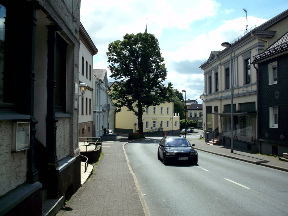
Start in der Falkenstraße zu einem Kurztrip, um mich nach den verregneten letzten Wochen wieder an das Bike zu "gewöhnen". Kurztrip, weil ich 1. den inneren Schweinehund erst bekämpfen musste und 2. ich die Formel 1 ab 14 Uhr sehen wollte. Beides hat geklappt.
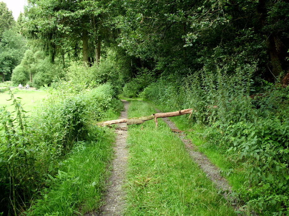
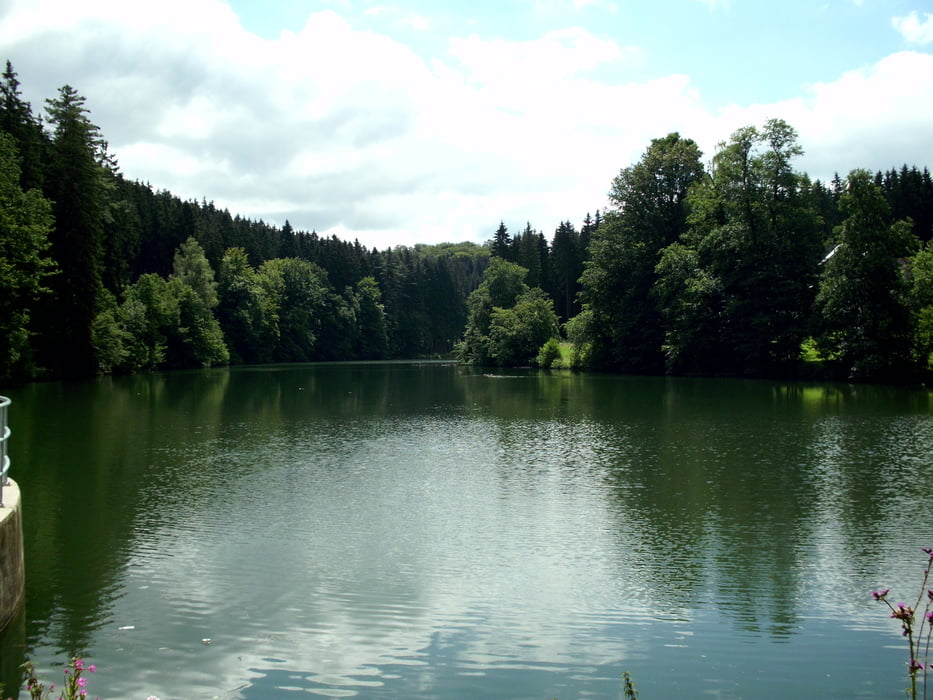
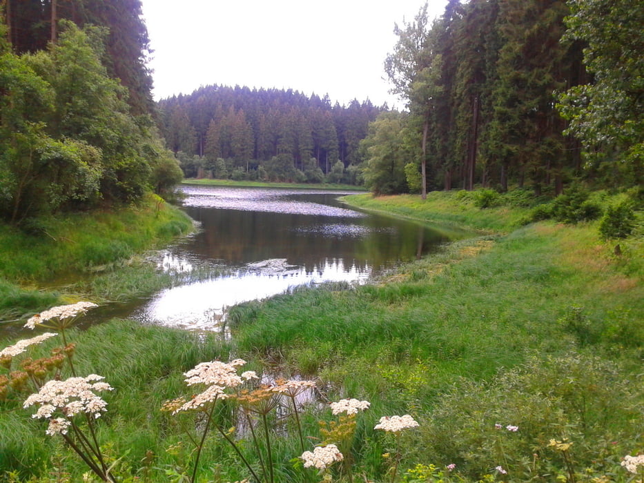
Tour gallery

Tour map and elevation profile

  • Open Street Map
  • Google
Minimum height 267 m Maximum height 426 m Detailed view

More about the tour author

neuser
Member since 2010

Send private message

Comments

GPS tracks

Trackpoints
  • GPX / Garmin Map Source (gpx) download
  • TCX / Garmin Training Center® (tcx) download
  • CRS / Garmin Training Center® (crs) download
  • Google Earth (kml) download
  • G7ToWin (g7t) download
  • TTQV (trk) download
  • Overlay (ovl) download
  • Fugawi (txt) download
  • Kompass (DAV) Track (tk) download
  • Track data sheet (pdf) download
  • Original file of the author (gpx) download

More about the tour author

neuser
Member since 2010

Send private message
Share track
Add to my favorites
Remove from my favorites
Edit tags
My score
Rate
Track: Halver-zur Ennepe und zurück
Type: Mountain bike
Distance: 26,9 km
Evaluated on:
Duration:
Day(s)
Hour(s)
Minute(s)
Score: Landscape Fun factor Fitness Technique