


Vom Lago Maggiore zum Lago di Garda
Tag 2: Monte Tamaro - Passo San Lucio
45,46 km ; 1585 HM
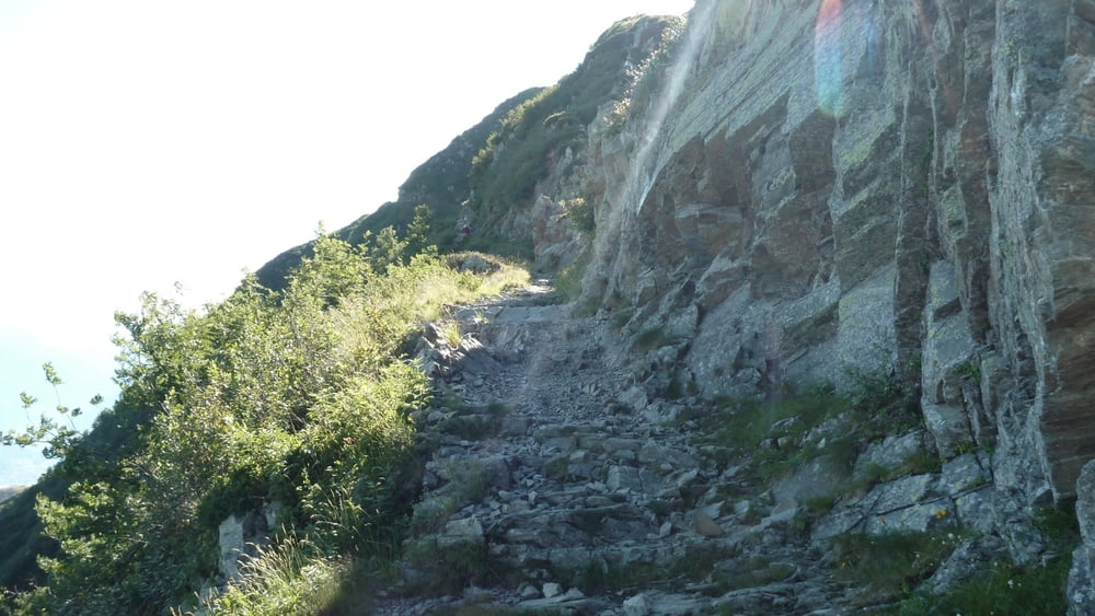
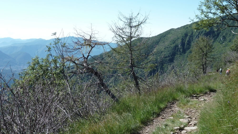
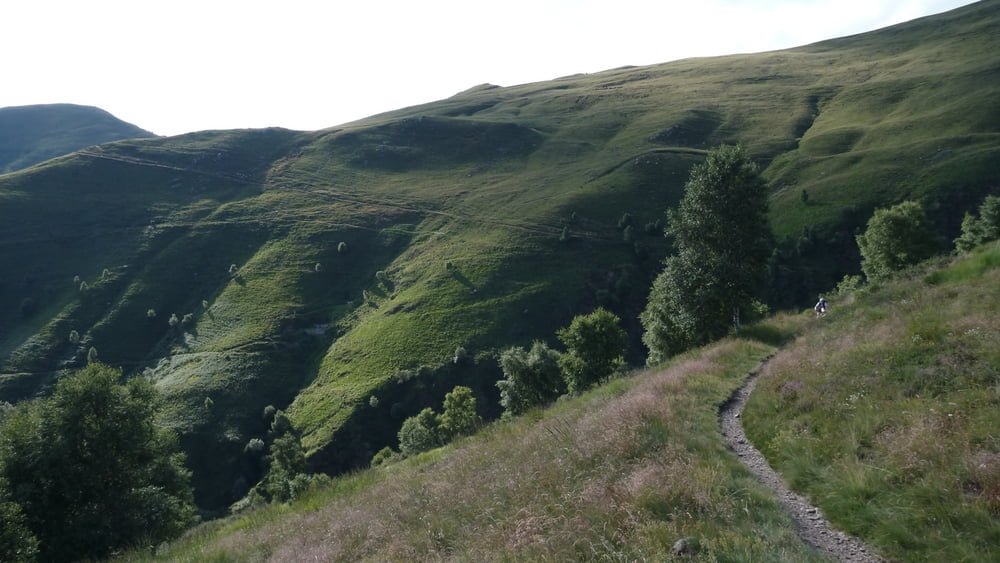
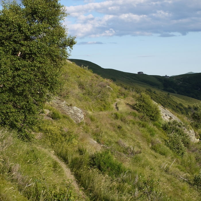
Kurzer Aufstieg noch Richtung Gipfel des Monte Tamaro. Abstieg bzw. Abfahrt je nach Fahrkönnen größtenteils bis komplett fahrbar. Super Trail durch den Wald. Über Torricella, Taverne nach Sala Capriasca. Mittagspause in Tesserete im dortigen Ristorante Stazione. Empfehlung einer Alternativroute über den Motto della Croce / Panoramaweg durch den Wirt. Asphaltaufstieg von knapp 1000 HM über Roveredo nach Bidogno. Dort Abzweig auf eien schmalen Asphaltweg bis fast zur Capanna Monte Bar auf 1600 HM unterhalb des Monte Bar. traumhafter Höhneweg mit einigen wenigen Schiebepassagen. Übernachtung im Capanna San Lucio bei erneut kaltem Wasser. Dafür gigantisches Abendessen
Tour gallery
Tour map and elevation profile
Minimum height 373 m
Maximum height 1898 m
More about the tour author
|
|
tbak |
Comments

-
GPS tracks
Trackpoints-
GPX / Garmin Map Source (gpx) download
-
TCX / Garmin Training Center® (tcx) download
-
CRS / Garmin Training Center® (crs) download
-
Google Earth (kml) download
-
G7ToWin (g7t) download
-
TTQV (trk) download
-
Overlay (ovl) download
-
Fugawi (txt) download
-
Kompass (DAV) Track (tk) download
-
Track data sheet (pdf) download
-
Original file of the author (gpx) download
More about the tour author
|
|
tbak |
Add to my favorites
Remove from my favorites
Edit tags
Open track
My score
Rate