


Vom Lago Maggiore zum Lago di Garda
Tag 8: Bondone - Pregasina
55,32 km ; 2189 HM
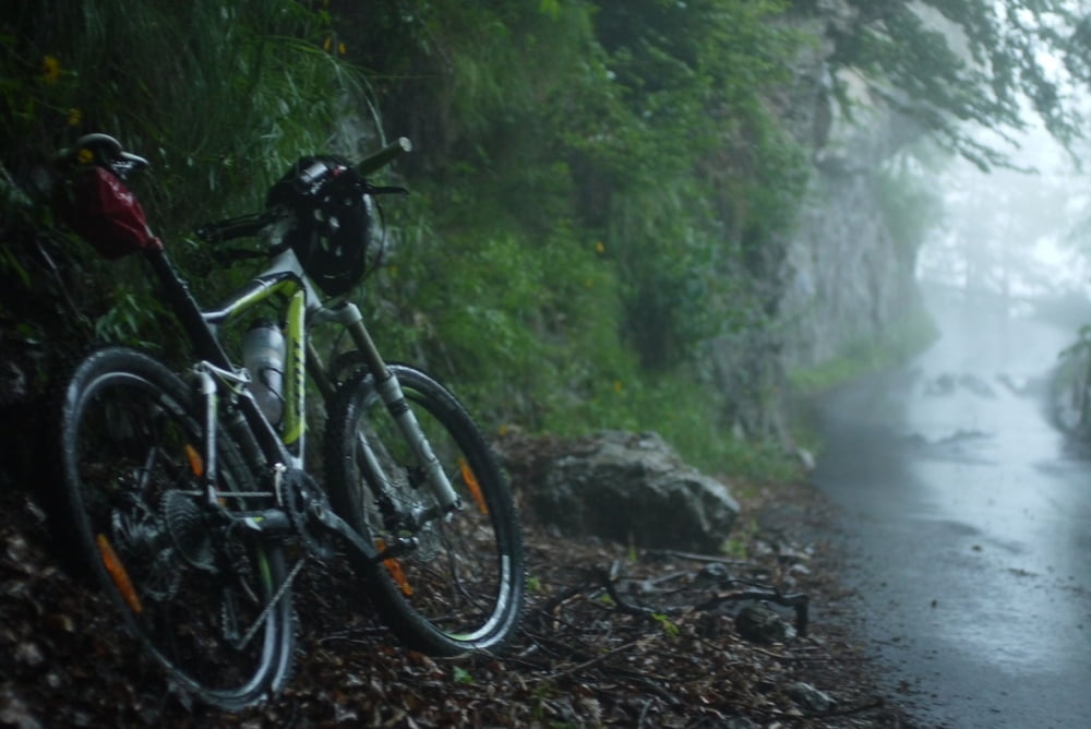
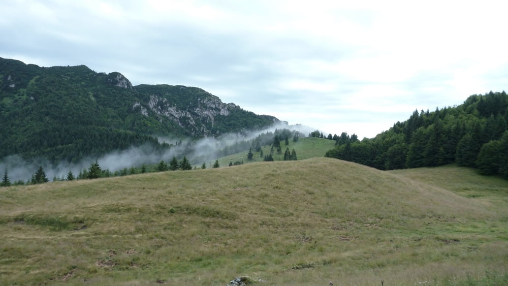
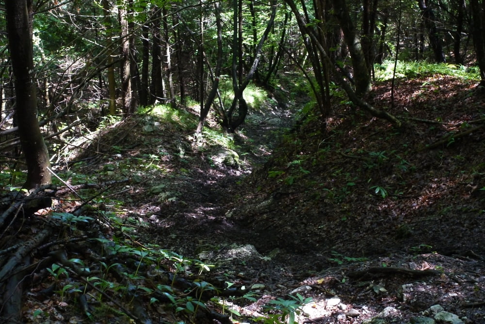
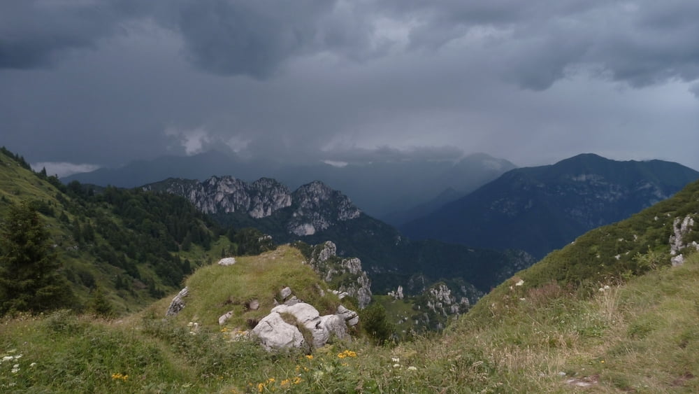
Nach unfreundlicher Bedienung durch die Wirtin Auffahrt Richtung Refugio Alpo. Unterwegs Gewittereinbruch. Deswegen wurde die Tour kurzerhand umgeplant, um unterhalb der Baumgrenze zu bleiben. Über die Sentieri 444 und 443 auf supertollen Trtails mit Grappapause hinab zur Landstrasse Richtung Ledrosee. Weiter bis zur Abzweigung zum Tremalzo an der Locanda Ampola. Erneute Tischkickerrunde for free. Gejagt vom Gewitter Aufbruch zum Rifugio Garda auf 1702 HM. Trockene Durchquerung des Tunnels, dann mal wieder Regen. Deswegen verhaltene Abfahrt über den Passo Nota und den Passo Rocchetta. Abschluss bei Weizenbier in Pregasina.
Tour gallery
Tour map and elevation profile
Minimum height 500 m
Maximum height 1832 m
More about the tour author
|
|
tbak |
Comments

-
GPS tracks
Trackpoints-
GPX / Garmin Map Source (gpx) download
-
TCX / Garmin Training Center® (tcx) download
-
CRS / Garmin Training Center® (crs) download
-
Google Earth (kml) download
-
G7ToWin (g7t) download
-
TTQV (trk) download
-
Overlay (ovl) download
-
Fugawi (txt) download
-
Kompass (DAV) Track (tk) download
-
Track data sheet (pdf) download
-
Original file of the author (gpx) download
More about the tour author
|
|
tbak |
Add to my favorites
Remove from my favorites
Edit tags
Open track
My score
Rate