

Moos-Lackenkapelle-Ginau Sattel-Mitterberghütten-
Pronebenalm-Althaussattel-Mühlbach
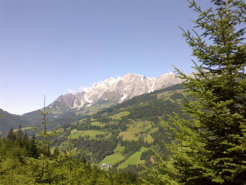
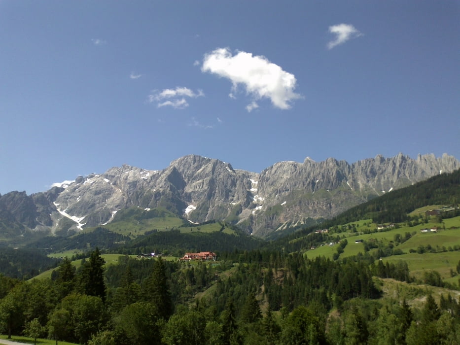
Wunderschöne Tour mit dem Hochkönig und anfangs auch dem Kitzsteinhorn
vor Augen! Die Pronebenalm hatte Ruhetag, dafür bewirtete man mich in einer
Privathütte (Nähe Althaussattel) ganz vorzüglich mit Gulaschsuppe und Bier.
Während des Essens plötzlich ein Knall: der hintere Reifen geplatzt! Ohne Fremdeinwirkung, der Mantel war 14 Tage alt! Zum Glück ist mir das nicht während der Fahrt passiert.
Übrigens, Rg. Pronebenalm hab ich mich ziemlich verkoffert. Ich sollte doch mehr dem Navi trauen. Leider waren da wenige Wege eingezeichnet.
Tour gallery
Tour map and elevation profile
Minimum height 563 m
Maximum height 1424 m
More about the tour author
|
|
mitter |
Comments

Start in Moos bei Wagrain, Jugendhotel Aicher.
GPS tracks
Trackpoints-
GPX / Garmin Map Source (gpx) download
-
TCX / Garmin Training Center® (tcx) download
-
CRS / Garmin Training Center® (crs) download
-
Google Earth (kml) download
-
G7ToWin (g7t) download
-
TTQV (trk) download
-
Overlay (ovl) download
-
Fugawi (txt) download
-
Kompass (DAV) Track (tk) download
-
Track data sheet (pdf) download
-
Original file of the author (gpx) download
More about the tour author
|
|
mitter |
Add to my favorites
Remove from my favorites
Edit tags
Open track
My score
Rate