


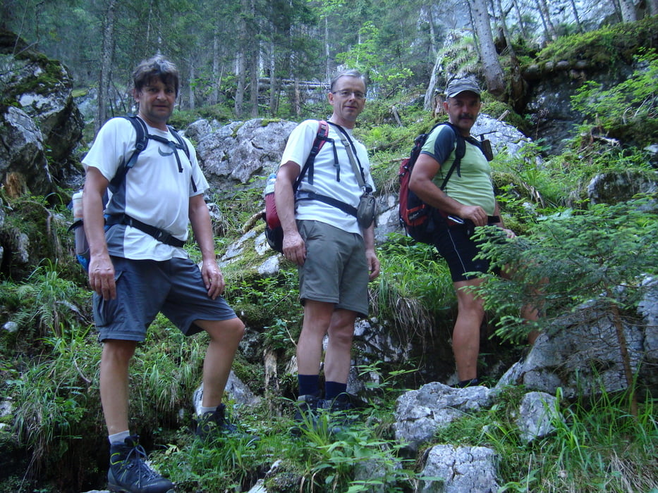
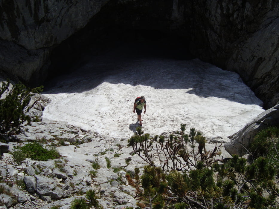
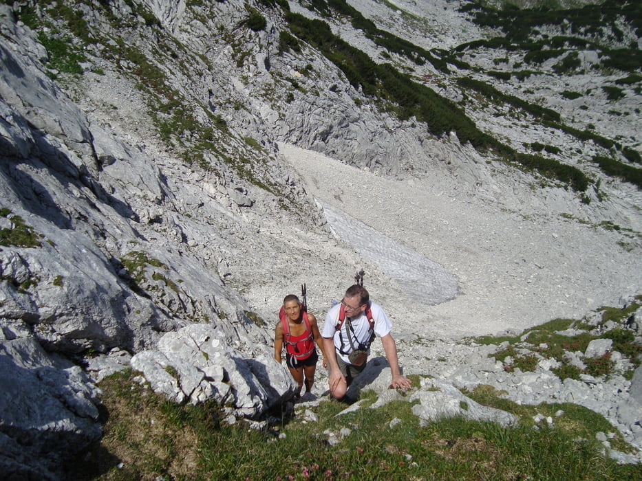
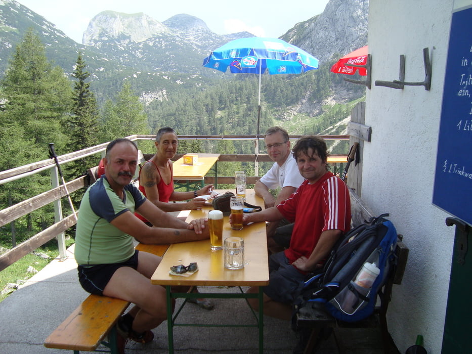
Von Ebensee kommend Richtung Offensee,beim E-Werk rechts auf eine Forststrasse einbiegen und den Bach entlangfahren bis zum Parkplatz. Aufstieg über den Nestlersteig vorbei an der Nestlerjagthütte zur Hochkogelhütte.( unmarkierter schlecht sichtbarer Jägersteig, steiler aber sehr schöner Waldsteig). Rechts auf markiertem Weg zur Eishöhle dann unmarkiert und über steile Felsen und Schotter direkt rauf zum Gipfel. ( Schwindelfrei und Trittsicherheit !! aber eine Stunde Zeitersparnis) Zurück gehts über Wanderwege zur Hochkogelhütte und auf Wanderweg runter zum Mittereckerstüberl. Sehr schöne aber anstrengende Tagestour.
mehr Bilder : seppdepp.heim.at
Tour gallery
Tour map and elevation profile
Minimum height 523 m
Maximum height 2091 m
More about the tour author
|
|
Atzbach |
Comments

GPS tracks
Trackpoints-
GPX / Garmin Map Source (gpx) download
-
TCX / Garmin Training Center® (tcx) download
-
CRS / Garmin Training Center® (crs) download
-
Google Earth (kml) download
-
G7ToWin (g7t) download
-
TTQV (trk) download
-
Overlay (ovl) download
-
Fugawi (txt) download
-
Kompass (DAV) Track (tk) download
-
Track data sheet (pdf) download
-
Original file of the author (gpx) download
More about the tour author
|
|
Atzbach |
Add to my favorites
Remove from my favorites
Edit tags
Open track
My score
Rate