


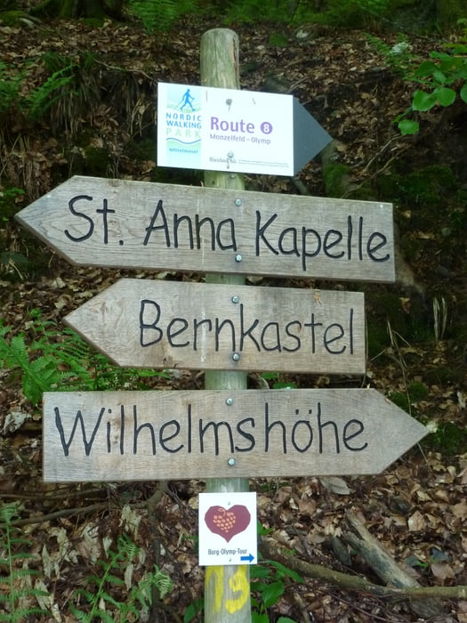
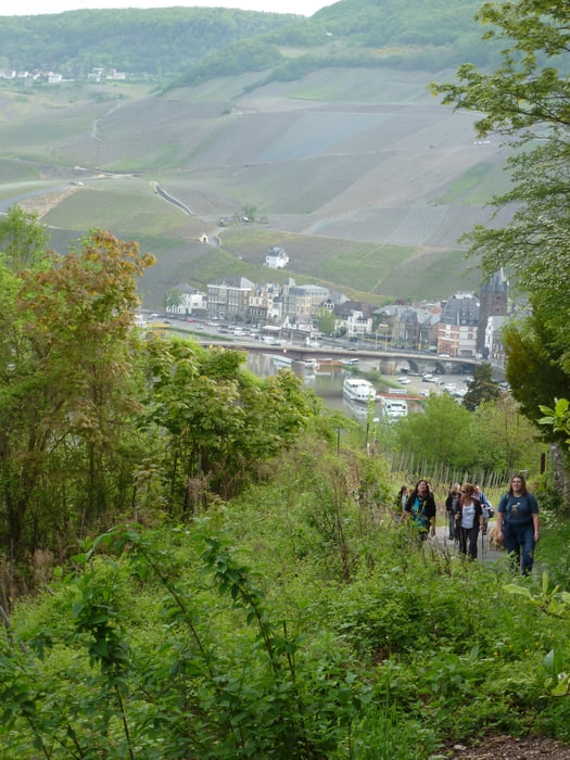
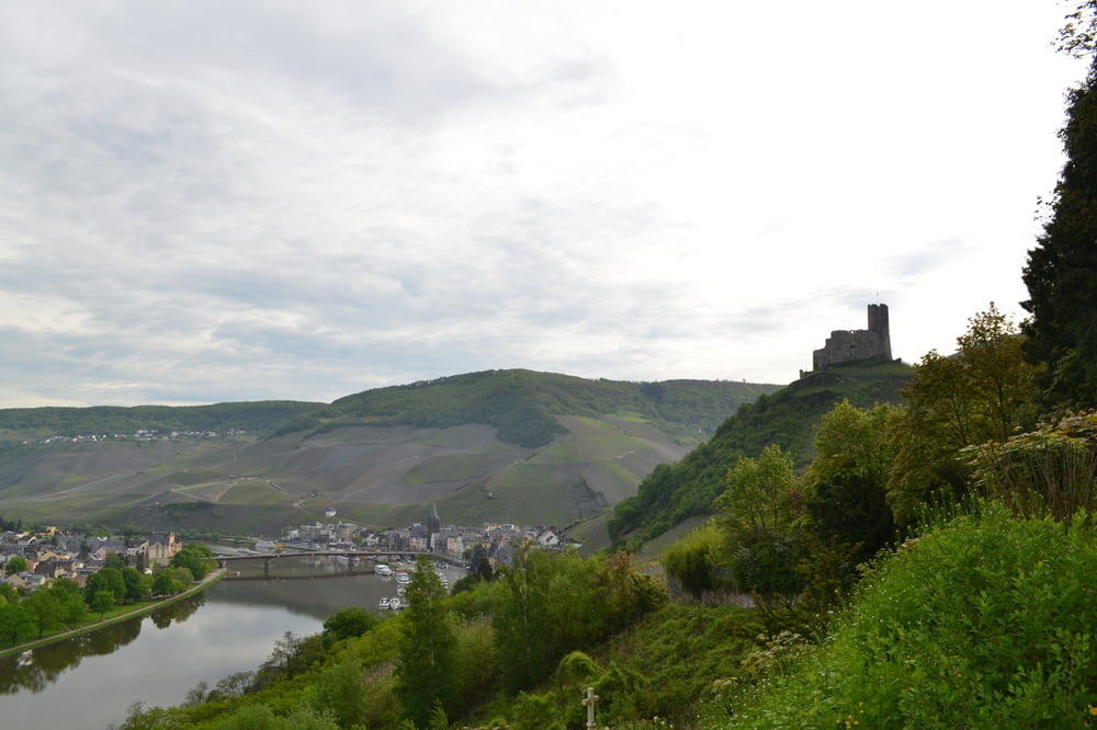
Schattige Wälder, historische Denkmäler und Pfade im Grenzgebiet Richtung Hunsrück bietet die Burg-Olymp-Tour hoch über der Stadt Bernkastel-Kues. Kaiserlich geht es zudem auf der Wilhelmshöhe zu, welche nach seiner Majestät Wilhelm I. benannt wurde, welcher mehrmals in Bernkastel-Kues verweilt haben soll.
Further information at
http://alpregio.outdooractive.com/ar-bernkastel-kues/de/alpregio.jsp#i=2811317&tab=TourTabTour gallery
Tour map and elevation profile
Minimum height 99999 m
Maximum height -99999 m
More about the tour author
|
|
Ferienland_BKS |
Comments

GPS tracks
Trackpoints-
GPX / Garmin Map Source (gpx) download
-
TCX / Garmin Training Center® (tcx) download
-
CRS / Garmin Training Center® (crs) download
-
Google Earth (kml) download
-
G7ToWin (g7t) download
-
TTQV (trk) download
-
Overlay (ovl) download
-
Fugawi (txt) download
-
Kompass (DAV) Track (tk) download
-
Track data sheet (pdf) download
-
Original file of the author (gpx) download
More about the tour author
|
|
Ferienland_BKS |
Add to my favorites
Remove from my favorites
Edit tags
Open track
My score
Rate