Login

Forgotten password?

Cookies have to be accepted!
Your browser's cookie functionality is disabled. Please enable this functionality.

Not a member yet?

Register now
Login

Available for registred users only

Log in to use this feature.

Forgotten password?

Cookies have to be accepted!
Your browser's cookie functionality is disabled. Please enable this functionality.

Not a member yet?

Register now
Filter
Categories
Advanced filters
  • Distance (km)
  • Height
Save filters Reset filter

TrackRank

QRCode

Technical data

Distance62,5 km Height1399 m Way down1485 m Duration05:20 h:m Date06.08.2012
Scores Author Landscape Fun factor Fitness Technique

Statistics

416 Views Scores 40 Downloads Average
Rate
  • Track data sheet
  • Directions
  • Downloads
Mit der Mühlkreisbahn nach Neufelden. Entlang er großen Mühl zur Ruine Pürnstein. Weiter Richtung Hansberg und Ruine Waxenberg. Über Oberneukirchen nach Zwettl an er Rodl. Wir verlassen den 150er und foglen dem 160er Wanderweg über Pelmberg, Oberbairing nach St. Magdalena und zurück zum Ausgangspunkt am Parkplatz Jahrmarktgelände

Tour map and elevation profile

  • Open Street Map
  • Google
Minimum height 258 m Maximum height 848 m Detailed view

More about the tour author

Rammre
Member since 2012

Send private message

Comments

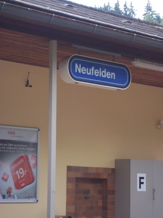
Vom Parkplatz Jahrmarktgelände zum Mühlkreisbahnhof. Mit der Bahn nach Neufelden.

GPS tracks

Trackpoints
  • GPX / Garmin Map Source (gpx) download
  • TCX / Garmin Training Center® (tcx) download
  • CRS / Garmin Training Center® (crs) download
  • Google Earth (kml) download
  • G7ToWin (g7t) download
  • TTQV (trk) download
  • Overlay (ovl) download
  • Fugawi (txt) download
  • Kompass (DAV) Track (tk) download
  • Track data sheet (pdf) download
  • Original file of the author (gpx) download

More about the tour author

Rammre
Member since 2012

Send private message
Share track
Add to my favorites
Remove from my favorites
Edit tags
My score
Rate
Track: Mittellandweg Neufelden bis Linz
Type: Mountain bike
Distance: 62,5 km
Evaluated on:
Duration:
Day(s)
Hour(s)
Minute(s)
Score: Landscape Fun factor Fitness Technique