


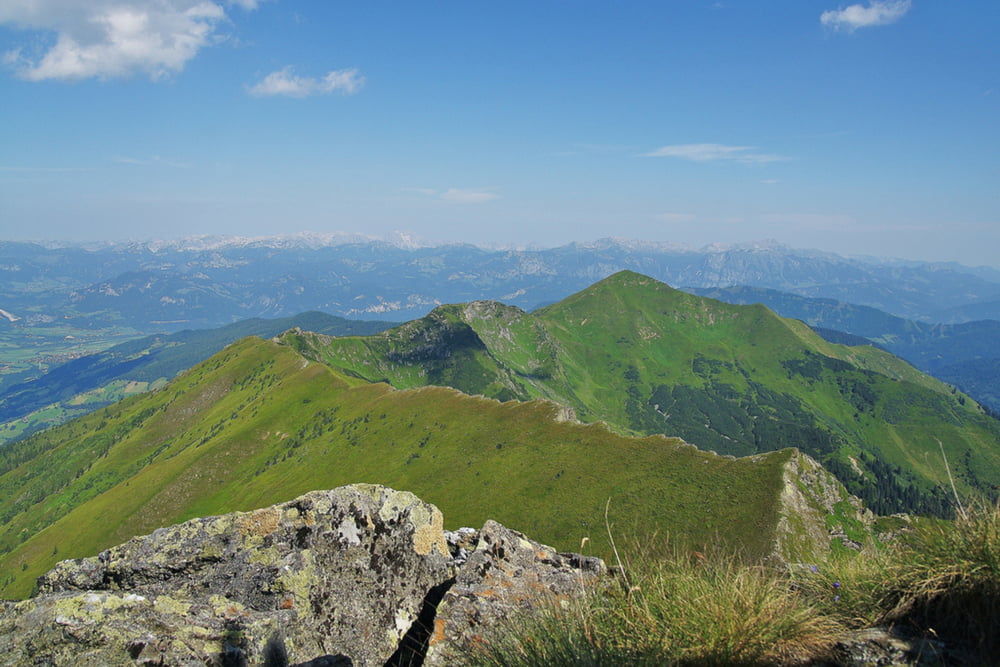
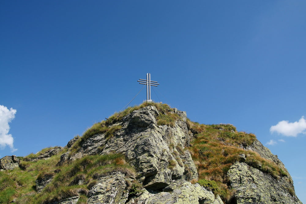
Der Aufstieg zum Gipfel des 2.183m hohen Hochstein ist 6,1 Kilometer lang und hat einen Höhenunterschied von 985m. Die schwere Bergtour ist für Kinder nicht unbedingt geeignet, da sehr steile Rasenhänge gequert werden und eine hohe Trittsicherheit unbedingt erforderlich ist. Vorsicht bei Nässe! Eine gute Bergwanderausrüstung mit festen Bergschuhen ist unbedingt erforderlich.
Die Anfahrt erfolgt auf der Ennstal Bundesstraße bis Trautenfels und weiter über Irdning nach Donnersbach. In Donnersbach biegst du nach links auf die Planneralmstraße ab und 1,9km später wieder links in Richtung Ilgenberg. Auf der schmalen und serpentinenreichen Straße erreichst du von Donnersbach aus nach 5,4 Kilometer das Gehöft Hochbär auf 1.256m. Es gibt beim Gehöft Hochbär einen kleinen Parkplatz und einen zweiten Parkplatz ca. 500m davor.
Mehr Infos und Fotos findest du auf biketours4you.at
Tour gallery
Tour map and elevation profile
Minimum height 1250 m
Maximum height 2139 m
More about the tour author
|
|
Trek1400d |
Comments

GPS tracks
Trackpoints-
GPX / Garmin Map Source (gpx) download
-
TCX / Garmin Training Center® (tcx) download
-
CRS / Garmin Training Center® (crs) download
-
Google Earth (kml) download
-
G7ToWin (g7t) download
-
TTQV (trk) download
-
Overlay (ovl) download
-
Fugawi (txt) download
-
Kompass (DAV) Track (tk) download
-
Track data sheet (pdf) download
-
Original file of the author (gpx) download
More about the tour author
|
|
Trek1400d |
Add to my favorites
Remove from my favorites
Edit tags
Open track
My score
Rate