


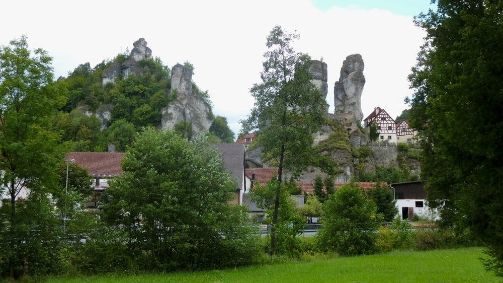
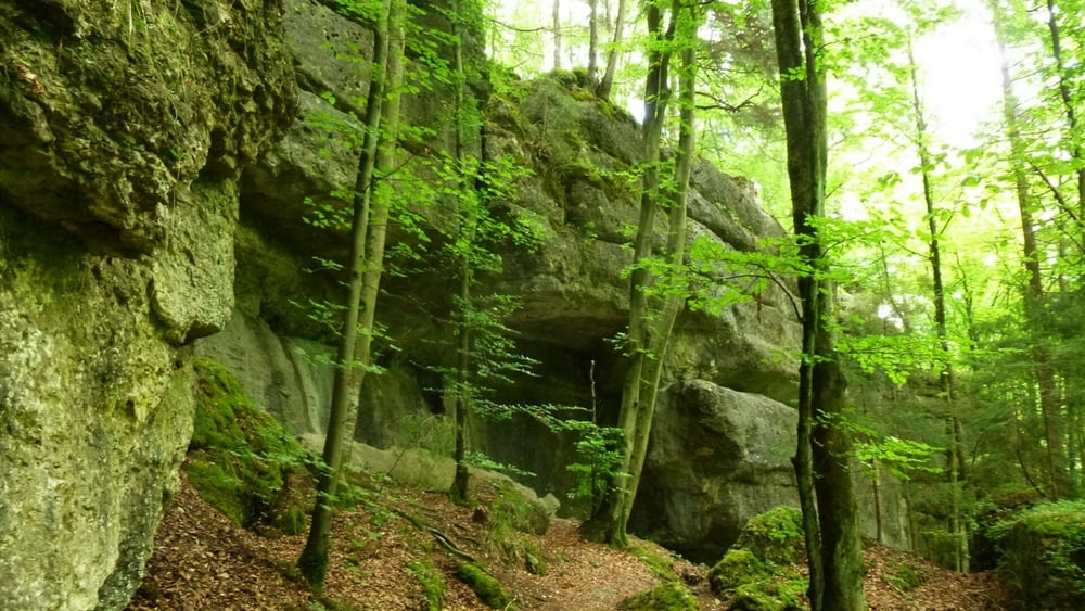
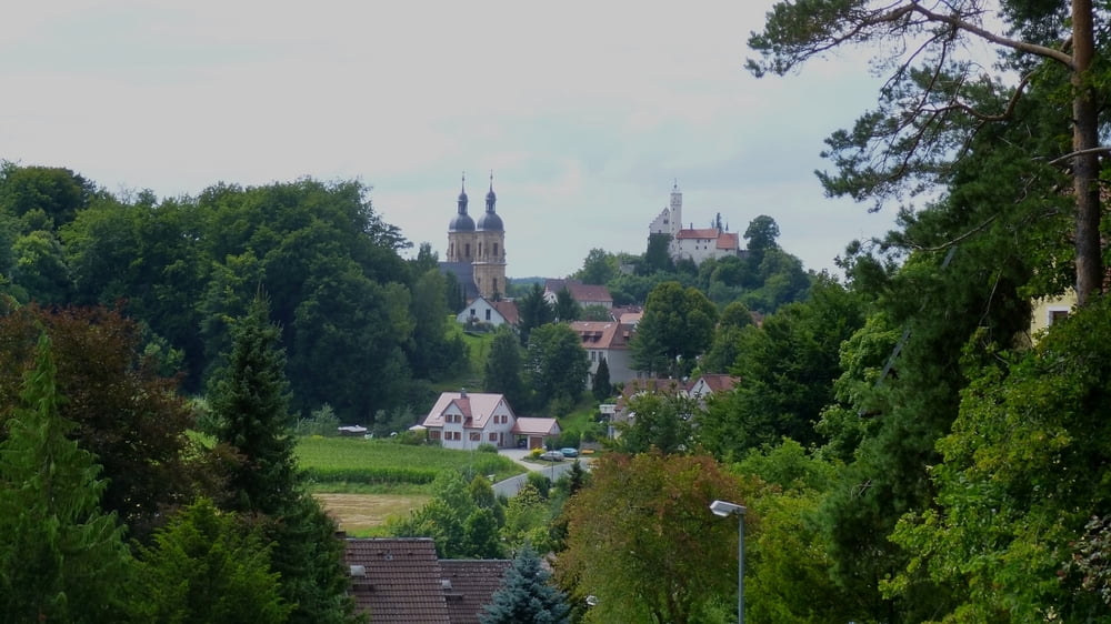
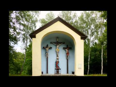
Vom Parkplatz mit gelber Raute links auf Fahrweg zum Wald, meist im Wald zum Felsenort Tüchersfeld. An Wegetafel folgen wir "Pottenstein". Es geht meist nahe der Püttlach entlang, später in hohem Felsenwald nach Pottenstein. Nach Ortseingang an Mauer rechts ab "Wallfahrtsweg", auch Blaustrich, auf Kreuzweg zu Altar. Dem Wegweiser folgend bald über die Höhe nach Hühnerloh und Bösenbirkig. Hier an Sträßchen rechts, bald links nach Gößweinstein mit Basilika und Burg vor Augen. An Straße rechts, links auf Weg neben Straße zur Kreuzung, wir queren die Straße, vor Wertstoffhof links kurz an der Straße entlang und bald in die "Karl- Brückner- Anlage". Ein Steig, an Felsen vorbei und mit 2 herrlichen Aussichtspunkten führt uns zur Straße nach Behringersmühle. Links ab und nach rechts an der Püttlach vorbei zurück zum Parkplatz.
Tour gallery

Tour map and elevation profile
Minimum height 325 m
Maximum height 471 m
More about the tour author
|
|
heinz-57 |
Comments

Au der B470 von Forchheim oder Pegnitz kommend in Behringersmühle abbiegen nach "Bayreuth", nach 200m rechts zu Wanderparkplatz.
GPS tracks
Trackpoints-
GPX / Garmin Map Source (gpx) download
-
TCX / Garmin Training Center® (tcx) download
-
CRS / Garmin Training Center® (crs) download
-
Google Earth (kml) download
-
G7ToWin (g7t) download
-
TTQV (trk) download
-
Overlay (ovl) download
-
Fugawi (txt) download
-
Kompass (DAV) Track (tk) download
-
Track data sheet (pdf) download
-
Original file of the author (gpx) download
More about the tour author
|
|
heinz-57 |
Add to my favorites
Remove from my favorites
Edit tags
Open track
My score
Rate