
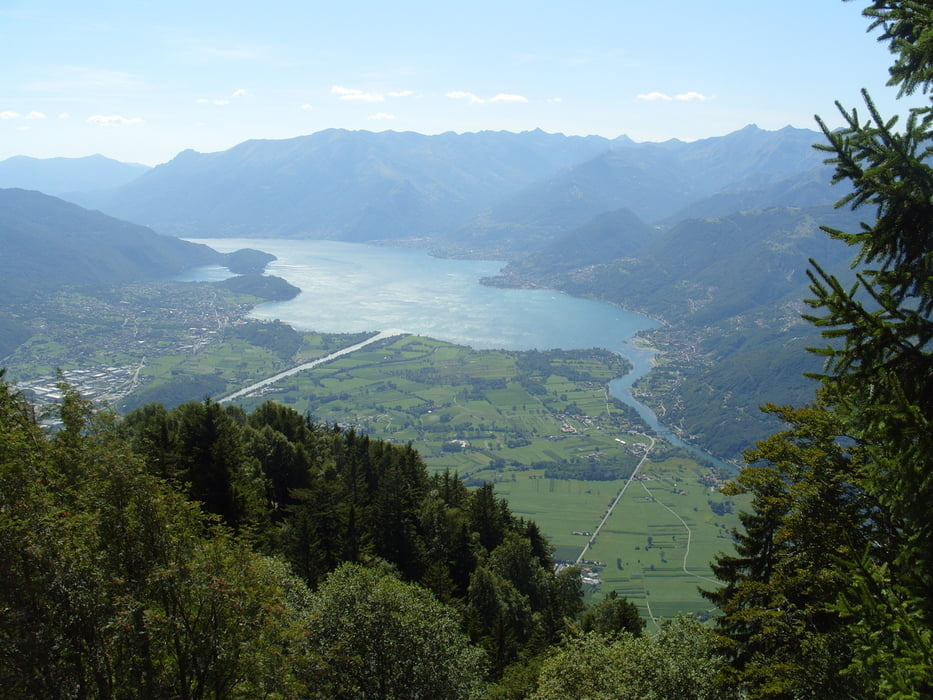

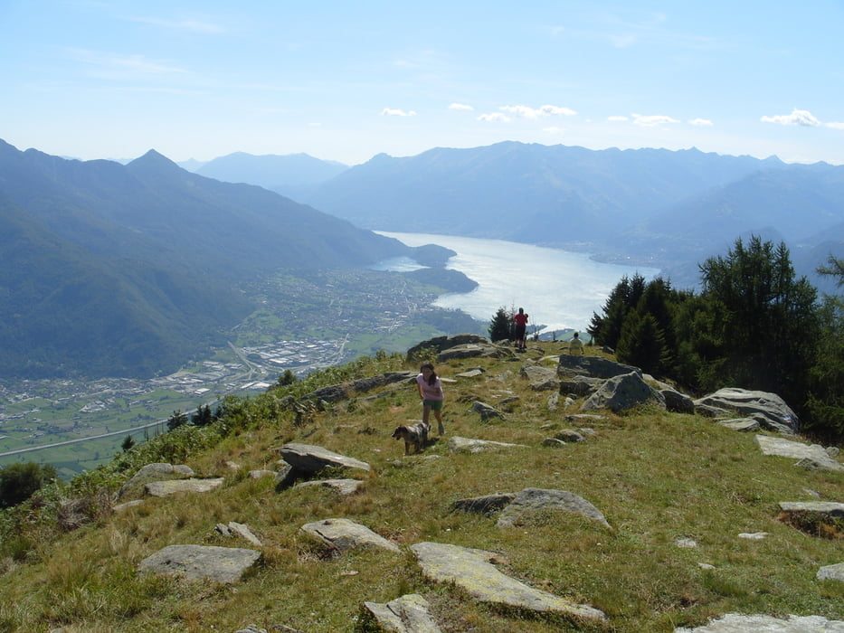
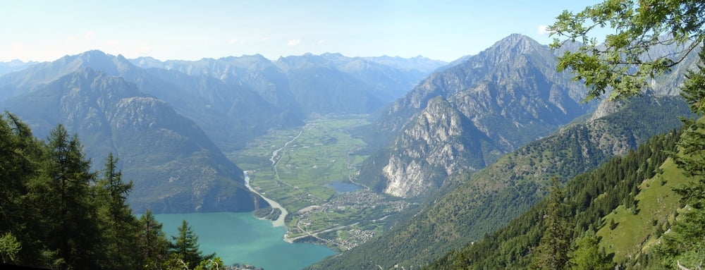
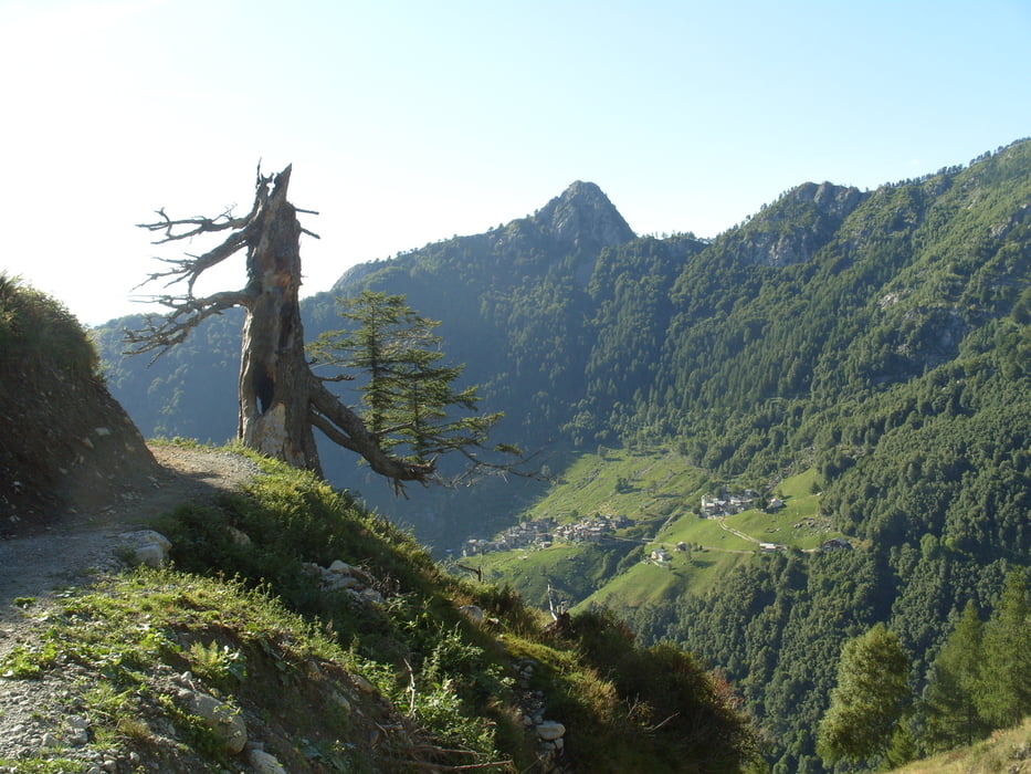
Bergwanderung von Dubio La Piazza (Ende Maut-Fahrstraße) über Mt. Basetta nach Verceia.
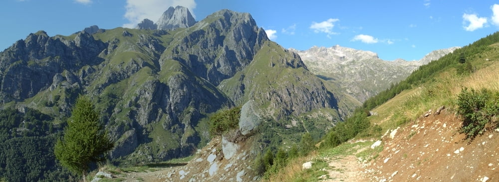
Eine Wanderung zum / durchs Val di Ratti.
Der Weg ist komplett markiert, im alpinen Bereich T3 schlechter, aber immer sichtbar.
Bemerkung MTB Val di Ratti:
Ab Lavazzo auf 1600m ist der Weg für MTB bis zum Fluß sehr gut fahrbar, meist S0 (anderstrum bergauf sollte er fahrbar sein S1). Dann ab der Brücke bis zur nächsten Brücke am Fluß meist S2 (anderstrum bergauf tragen oder gleich nach Forceccia tragen und zum Fluß fahren). Bei der nächsten Brücke dann bis zum Staudamm und 2km Tracellino S0. Bis Verceia dann Hardcore S2 (oder Straße).
Further information at
http://www.comersee-aktiv.comTour gallery
Tour map and elevation profile
Minimum height 208 m
Maximum height 1827 m
More about the tour author
|
|
skyhopper |
Comments

GPS tracks
Trackpoints-
GPX / Garmin Map Source (gpx) download
-
TCX / Garmin Training Center® (tcx) download
-
CRS / Garmin Training Center® (crs) download
-
Google Earth (kml) download
-
G7ToWin (g7t) download
-
TTQV (trk) download
-
Overlay (ovl) download
-
Fugawi (txt) download
-
Kompass (DAV) Track (tk) download
-
Track data sheet (pdf) download
-
Original file of the author (gpx) download
More about the tour author
|
|
skyhopper |
Add to my favorites
Remove from my favorites
Edit tags
Open track
My score
Rate