Login

Forgot your login?

Cookies have to be accepted!
Your browser's cookie functionality is disabled. Please enable this functionality.

Not a member yet?

Register now
Login

Available for registred users only

Log in to use this feature.

Forgot your login?

Cookies have to be accepted!
Your browser's cookie functionality is disabled. Please enable this functionality.

Not a member yet?

Register now
Filter
Categories
Advanced filters
  • Distance (km)
  • Height
Save filters Reset filter

TrackRank

QRCode

Technical data

Distance41,9 km Height1118 m Way down1019 m Duration00:00 h:m Date12.08.2012
Scores Author Landscape Fun factor Fitness Technique

Statistics

403 Views Scores 29 Downloads Average
Rate
  • Track data sheet
  • Directions
  • Downloads
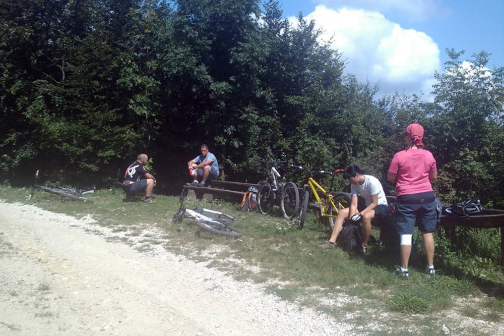
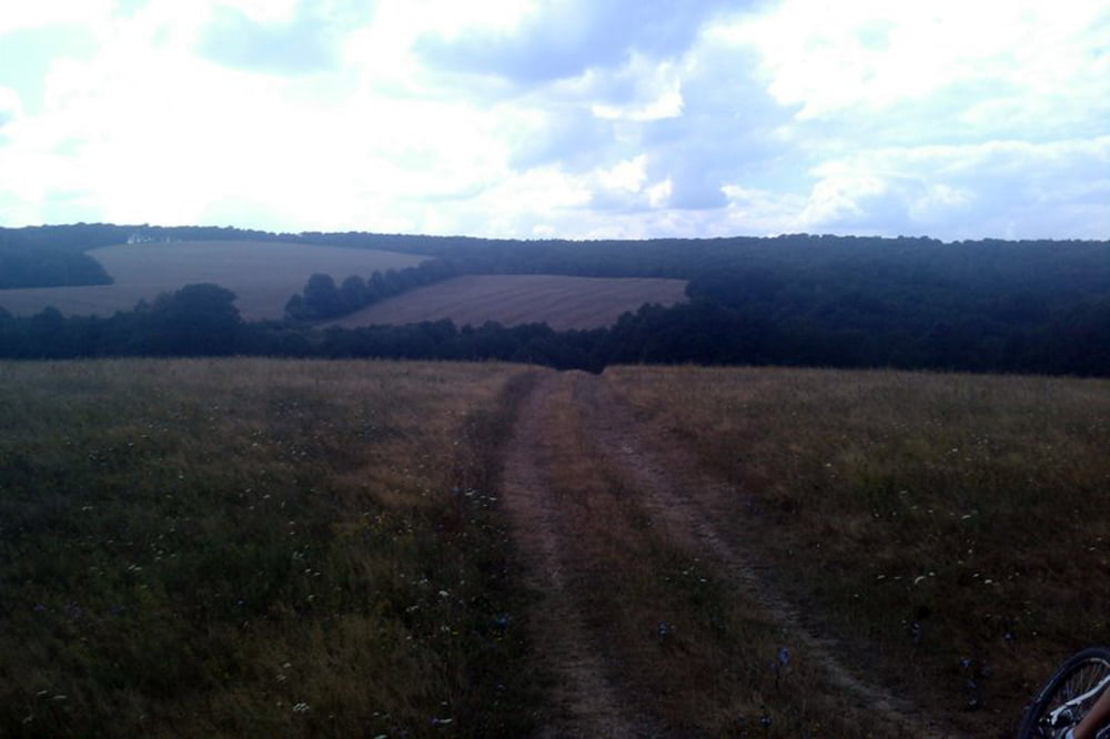
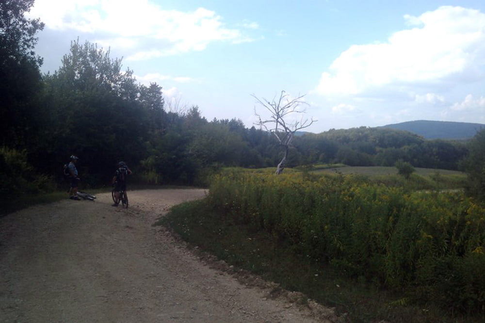
90%-ban gondozott erdőgazdasági utakon vezet az út, egyáltalán nem mondanám technikás terepnek. Lányokkal (bocs lányok :) ideális, "idősebbek is elkezdhetik". Egy komolyabb kapaszkodó van az úton, fel a Középső-Hajagra.

Tour gallery

Tour map and elevation profile

  • Open Street Map
  • Google
Minimum height 148 m Maximum height 691 m Detailed view

More about the tour author

sutyi
Member since 2012

Send private message

Comments

Gerence patak völgye, Odvaskő Hotel parkolója

GPS tracks

Trackpoints
  • GPX / Garmin Map Source (gpx) download
  • TCX / Garmin Training Center® (tcx) download
  • CRS / Garmin Training Center® (crs) download
  • Google Earth (kml) download
  • G7ToWin (g7t) download
  • TTQV (trk) download
  • Overlay (ovl) download
  • Fugawi (txt) download
  • Kompass (DAV) Track (tk) download
  • Track data sheet (pdf) download
  • Original file of the author (gpx) download

More about the tour author

sutyi
Member since 2012

Send private message
Share track
Add to my favorites
Remove from my favorites
Edit tags
My score
Rate
Track: Bakony, Gerence völgy
Type: Mountain bike
Distance: 41,9 km
Evaluated on:
Duration:
Day(s)
Hour(s)
Minute(s)
Score: Landscape Fun factor Fitness Technique