
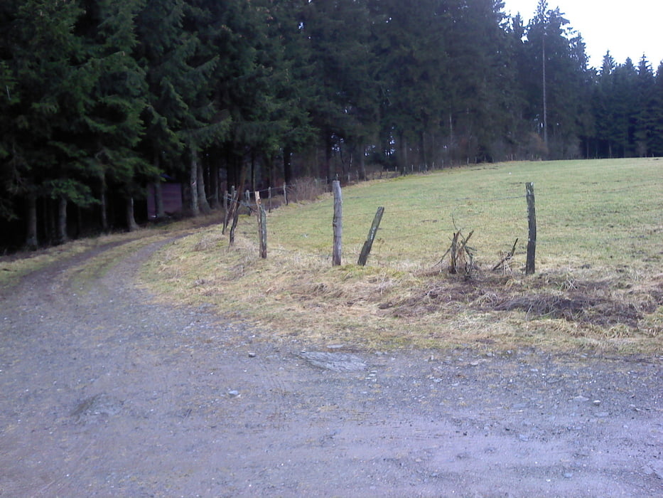

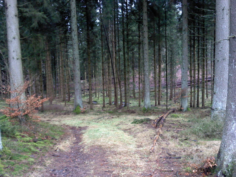
as ist eine leichte Wanderung durch das wunderschöne Webertal bei Schönberg.
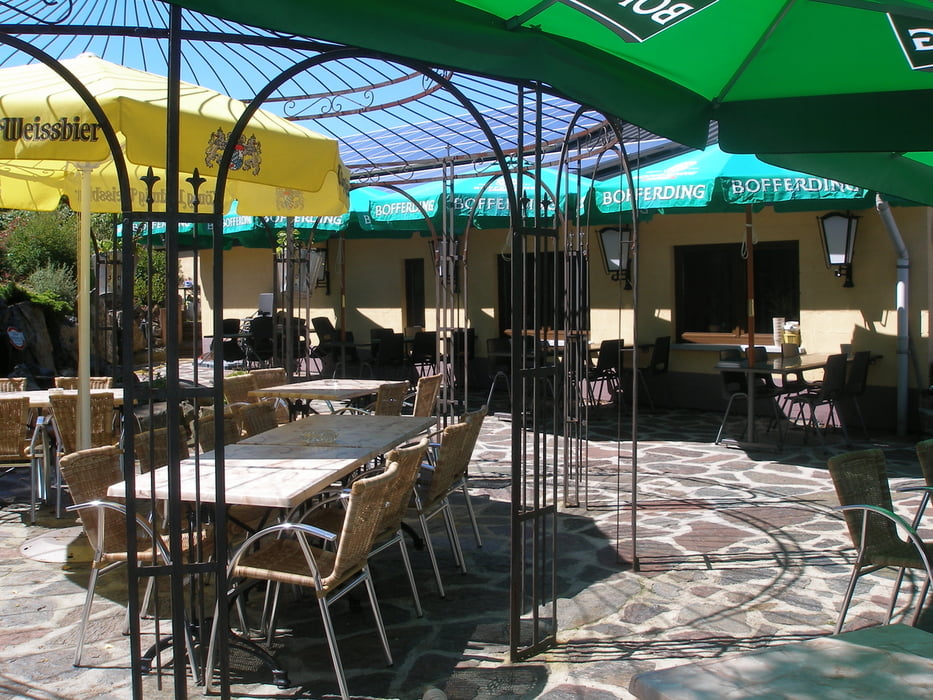
Start ist in Schönberg beim Hotel Zur alten Schmiede, wo auch gute Parkmöglichkeiten sind.
Tolle Aussichten auf den höchsten Stellen ;
Diese Strecke ist 80%Naturwege.
Wärend der Wanderung haben Sie keine Möglichkeit irgendwo einzukehren.
Am Ende der Wanderung können Sie in der Alten Schmiede einkehren wo Sie ein leckeres belgisches Bier oder auch einen guten schottischen Whisky aus der grossen Auswahl die dieses Haus hat,bestellen.
Further information at
http://www.zuraltenschmiede.beTour gallery
Tour map and elevation profile
Minimum height 348 m
Maximum height 549 m
More about the tour author
|
|
Wanderfrosch1960 |
Comments

Schönberg -Belgien am Kreisverkehr sieht man das Hotel auf der rechten Seite ,50 Meter Richtung Bleialf
GPS tracks
Trackpoints-
GPX / Garmin Map Source (gpx) download
-
TCX / Garmin Training Center® (tcx) download
-
CRS / Garmin Training Center® (crs) download
-
Google Earth (kml) download
-
G7ToWin (g7t) download
-
TTQV (trk) download
-
Overlay (ovl) download
-
Fugawi (txt) download
-
Kompass (DAV) Track (tk) download
-
Track data sheet (pdf) download
-
Original file of the author (gpx) download
More about the tour author
|
|
Wanderfrosch1960 |
Add to my favorites
Remove from my favorites
Edit tags
Open track
My score
Rate