


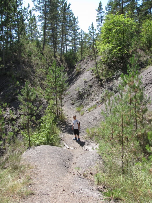
Kurze Rundwanderung zu einem kleinen Aqueduct, das früher Clamensane mit Wasser versorgt hat.
Hinweg entlang schattigem Bächlein, durch kleines enges Tälchen. Rückweg mit mehr Sicht auf Umgebung und Tal der Sasse, dafür weniger Schattig.
Further information at
http://www.hautesterresprovence.com/Tour gallery
Tour map and elevation profile
Minimum height 728 m
Maximum height 907 m
More about the tour author

|
Iris04 |
Comments

Von Sisteron kommend auf der D951 Richtung La Motte due Caire. Etwa 4km vor La Motte du Caire rechts auf die D1 abbiegen bis Clamensane. Der Weg beginnt unmittelbar vor der Brücke links, dem Bach folgend.
GPS tracks
Trackpoints-
GPX / Garmin Map Source (gpx) download
-
TCX / Garmin Training Center® (tcx) download
-
CRS / Garmin Training Center® (crs) download
-
Google Earth (kml) download
-
G7ToWin (g7t) download
-
TTQV (trk) download
-
Overlay (ovl) download
-
Fugawi (txt) download
-
Kompass (DAV) Track (tk) download
-
Track data sheet (pdf) download
-
Original file of the author (gpx) download
More about the tour author
|
|
Iris04 |
Add to my favorites
Remove from my favorites
Edit tags
Open track
My score
Rate