
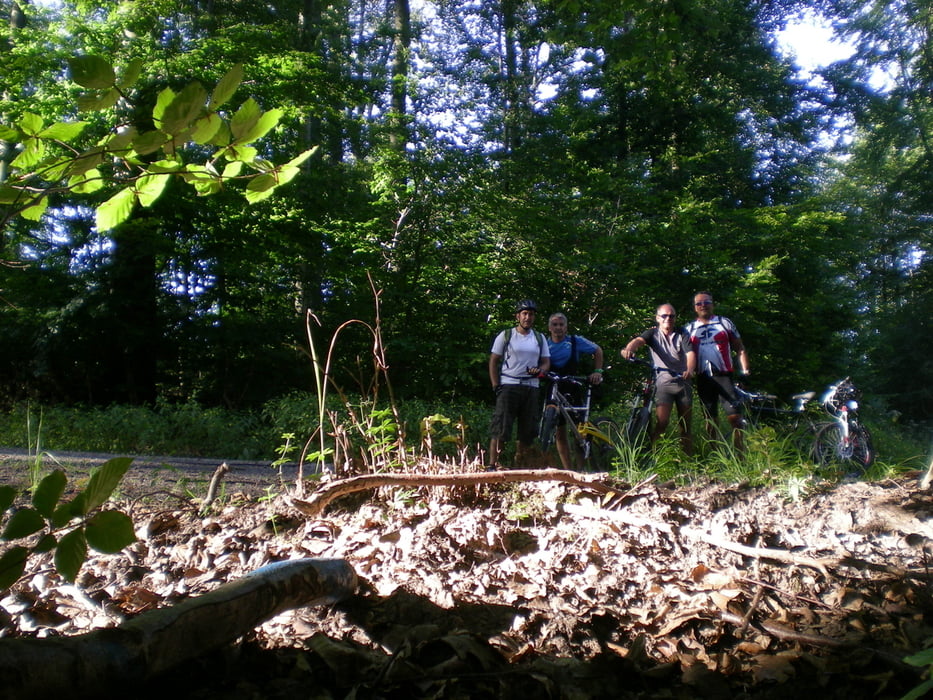

Männertour mit Gert, Church und Karim.
"Wir fahren doch nicht mit dem Auto nach Prevorst ......."
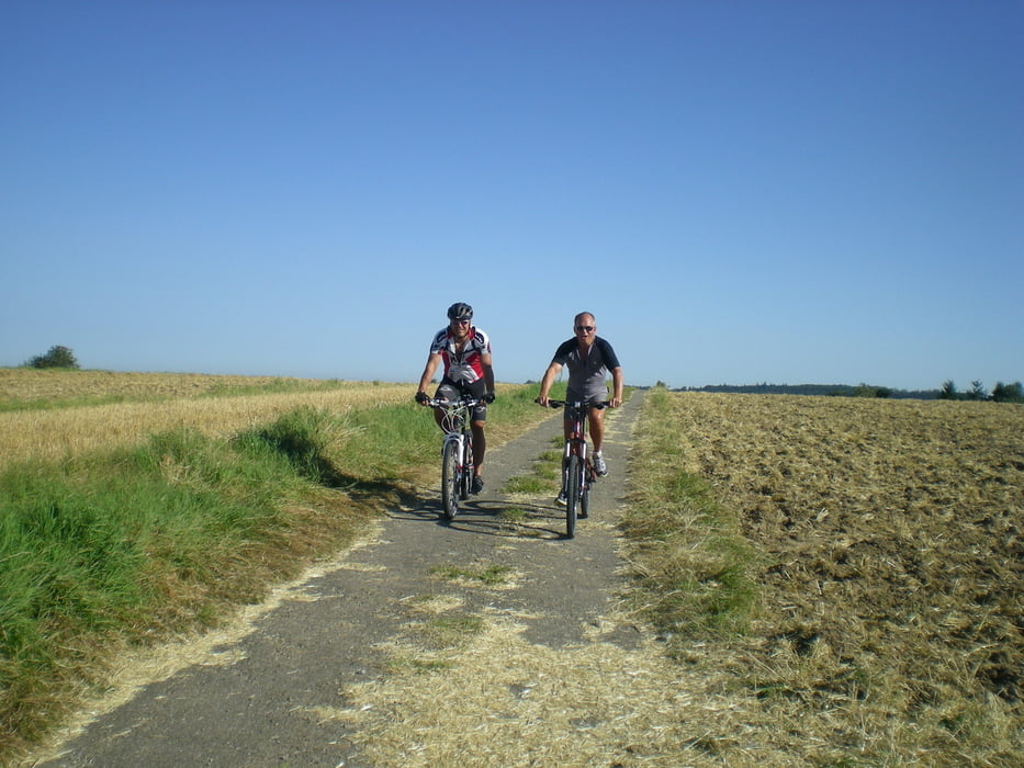
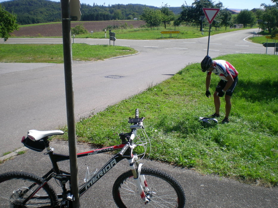
Auf Wunsch eines einzelnen Herren sind wir in Beilstein/Oberstenfeld gestartet. Vorbei an dem Brauereisee weiter nach Prevorst , Richtung Nassach und wieder teilweise dem Räuberweg folgend. Zurück nach Prevorst mit Boxenstopp an der oberen Ölmühle.
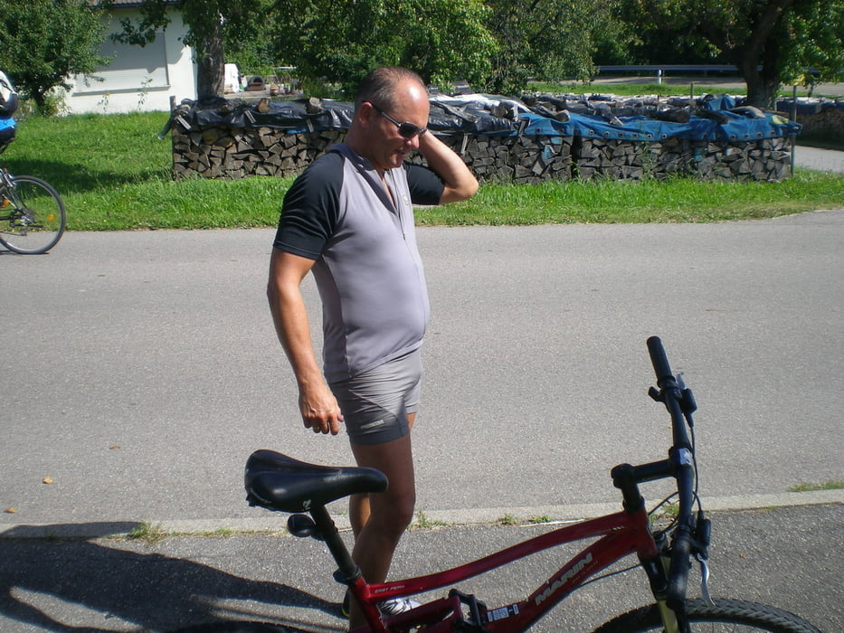
Wertung: Bergtrikot geht an Gert, bester Neueinsteiger Church , schönster Biker Karim
Tour gallery
Tour map and elevation profile
Minimum height 224 m
Maximum height 541 m
More about the tour author
|
|
Knut1893 |
Comments

GPS tracks
Trackpoints-
GPX / Garmin Map Source (gpx) download
-
TCX / Garmin Training Center® (tcx) download
-
CRS / Garmin Training Center® (crs) download
-
Google Earth (kml) download
-
G7ToWin (g7t) download
-
TTQV (trk) download
-
Overlay (ovl) download
-
Fugawi (txt) download
-
Kompass (DAV) Track (tk) download
-
Track data sheet (pdf) download
-
Original file of the author (gpx) download
More about the tour author
|
|
Knut1893 |
Add to my favorites
Remove from my favorites
Edit tags
Open track
My score
Rate