


Die An und Abreise zum Gelände erfolgt auf eigner Achse, daher empfiehlt es sich am Morgen frueh zu starten, denn auf dem Rueckweg hat man genug mit dem Verkehr zu kaempfen.
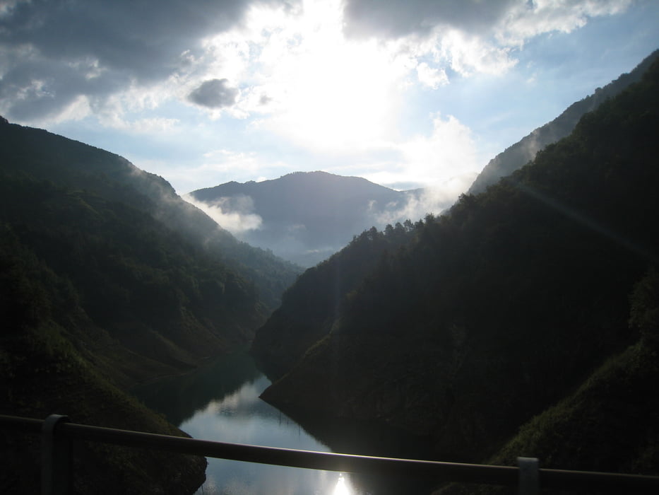
Habe die Tour im Uhrzeigersinn gemacht, ohne vorher zu wissen, wo ich ueberhaupt langfahre. Heute weiss ich zu berichten, dass es Gegen den Uhrzeigersinn mehr Spass machen wuerde, denn ich hatte einige Schiebepassagen, weil es fuer mich (meine Kondition und die Uebersetzung am Rad) einfach zu steil war. Trotzdem machte die Abfahrt Spass:
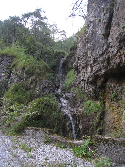
Schnell und mit ein paar Spruengen ueber querlaufende Wasserrinnen :-)
VIEL SPASS!!!
Tour gallery

Tour map and elevation profile
Minimum height 106 m
Maximum height 1025 m
More about the tour author

|
quik-mic |
Comments

GPS tracks
Trackpoints-
GPX / Garmin Map Source (gpx) download
-
TCX / Garmin Training Center® (tcx) download
-
CRS / Garmin Training Center® (crs) download
-
Google Earth (kml) download
-
G7ToWin (g7t) download
-
TTQV (trk) download
-
Overlay (ovl) download
-
Fugawi (txt) download
-
Kompass (DAV) Track (tk) download
-
Track data sheet (pdf) download
-
Original file of the author (gpx) download
More about the tour author
|
|
quik-mic |
Add to my favorites
Remove from my favorites
Edit tags
Open track
My score
Rate