Login

Forgotten password?

Cookies have to be accepted!
Your browser's cookie functionality is disabled. Please enable this functionality.

Not a member yet?

Register now
Login

Available for registred users only

Log in to use this feature.

Forgotten password?

Cookies have to be accepted!
Your browser's cookie functionality is disabled. Please enable this functionality.

Not a member yet?

Register now
Filter
Categories
Advanced filters
  • Distance (km)
  • Height
Save filters Reset filter

TrackRank

QRCode

Technical data

Distance69,5 km Height1818 m Way down1816 m Duration05:35 h:m Date21.08.2012
Scores Author Landscape Fun factor Fitness Technique

Statistics

1059 Views Scores 50 Downloads Average
Rate
  • Track data sheet
  • Directions
  • Downloads
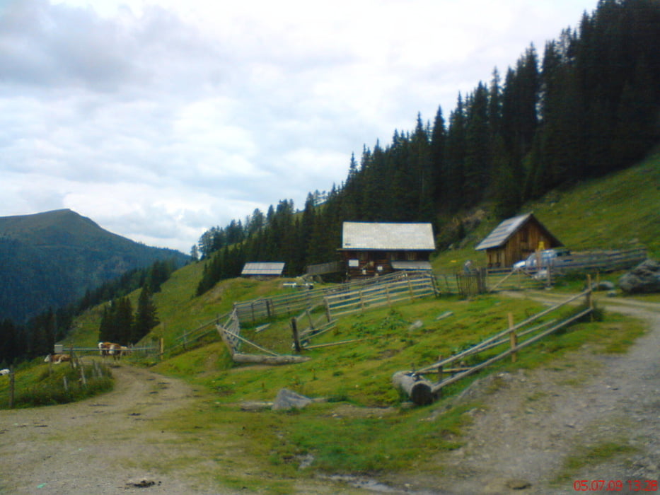
Von Spittal aus ums Goldeck herum dem Drauradweg entlang bis nach Lind. Von da an gehts in den Siflitzgraben hinein. Gut fahrbar bis hinauf aufs Goldeck. Dann lässige Abfahrt auf der Panoramastraße zum Kleinsasser.  Noch mal kleiner Gegenanstieg, Abrollung nach Spittal.

Tour gallery

Tour map and elevation profile

  • Open Street Map
  • Google
Minimum height 540 m Maximum height 2143 m Detailed view

More about the tour author

mitter
Member since 2008

Send private message

Comments

Start in Spittal beim Spital.

GPS tracks

Trackpoints
  • GPX / Garmin Map Source (gpx) download
  • TCX / Garmin Training Center® (tcx) download
  • CRS / Garmin Training Center® (crs) download
  • Google Earth (kml) download
  • G7ToWin (g7t) download
  • TTQV (trk) download
  • Overlay (ovl) download
  • Fugawi (txt) download
  • Kompass (DAV) Track (tk) download
  • Track data sheet (pdf) download
  • Original file of the author (gpx) download

More about the tour author

mitter
Member since 2008

Send private message
Share track
Add to my favorites
Remove from my favorites
Edit tags
My score
Rate
Track: Goldeck über Siflitzgraben
Type: Mountain bike
Distance: 69,5 km
Evaluated on:
Duration:
Day(s)
Hour(s)
Minute(s)
Score: Landscape Fun factor Fitness Technique