Login

Forgotten password?

Cookies have to be accepted!
Your browser's cookie functionality is disabled. Please enable this functionality.

Not a member yet?

Register now
Login

Available for registred users only

Log in to use this feature.

Forgotten password?

Cookies have to be accepted!
Your browser's cookie functionality is disabled. Please enable this functionality.

Not a member yet?

Register now
Filter
Categories
Advanced filters
  • Distance (km)
  • Height
Save filters Reset filter

TrackRank

QRCode

Technical data

Distance8,9 km Height619 m Way down592 m Duration10:00 h:m Date10.09.2007
Scores Author Landscape Fun factor Fitness Technique

Statistics

1970 Views Scores 148 Downloads Average
Rate
  • Track data sheet
  • Directions
  • Downloads
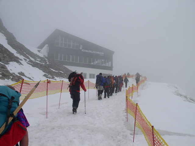
Vom Schaufeljoch bergab über Gletscher (2006 spaltenfrei) zur Hildesheimerhütte (DAV). Nach Querung des Gletscherschliffes (Schwindelfreiheit) zum Anseilplatz auf 3.100m. Gletschertour mit anspruchsvollem Gipfelgrat.

Tour gallery

Tour map and elevation profile

  • Open Street Map
  • Google
Minimum height 2836 m Maximum height 3511 m Detailed view

More about the tour author

gsimon
Member since 2007

Send private message

Comments

Autoanreise über Innsbruck ins Stubaital. Seilbahn (3 Sektionen) bis Schaufeljoch

GPS tracks

Trackpoints
  • GPX / Garmin Map Source (gpx) download
  • TCX / Garmin Training Center® (tcx) download
  • CRS / Garmin Training Center® (crs) download
  • Google Earth (kml) download
  • G7ToWin (g7t) download
  • TTQV (trk) download
  • Overlay (ovl) download
  • Fugawi (txt) download
  • Kompass (DAV) Track (tk) download
  • Track data sheet (pdf) download
  • Original file of the author (gpx) download

More about the tour author

gsimon
Member since 2007

Send private message
Share track
Add to my favorites
Remove from my favorites
Edit tags
My score
Rate
Track: Zuckerhütl ab Schaufeljochbahn
Type: Mountain hiking
Distance: 8,9 km
Evaluated on:
Duration:
Day(s)
Hour(s)
Minute(s)
Score: Landscape Fun factor Fitness Technique