


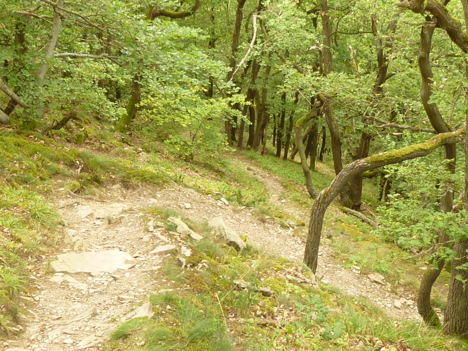
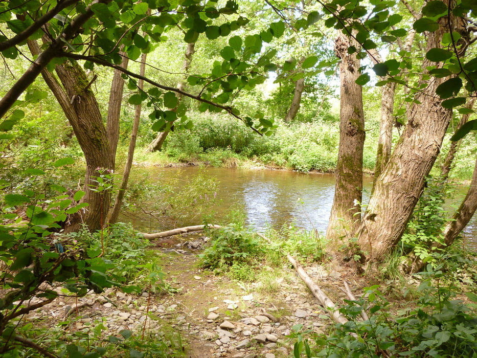
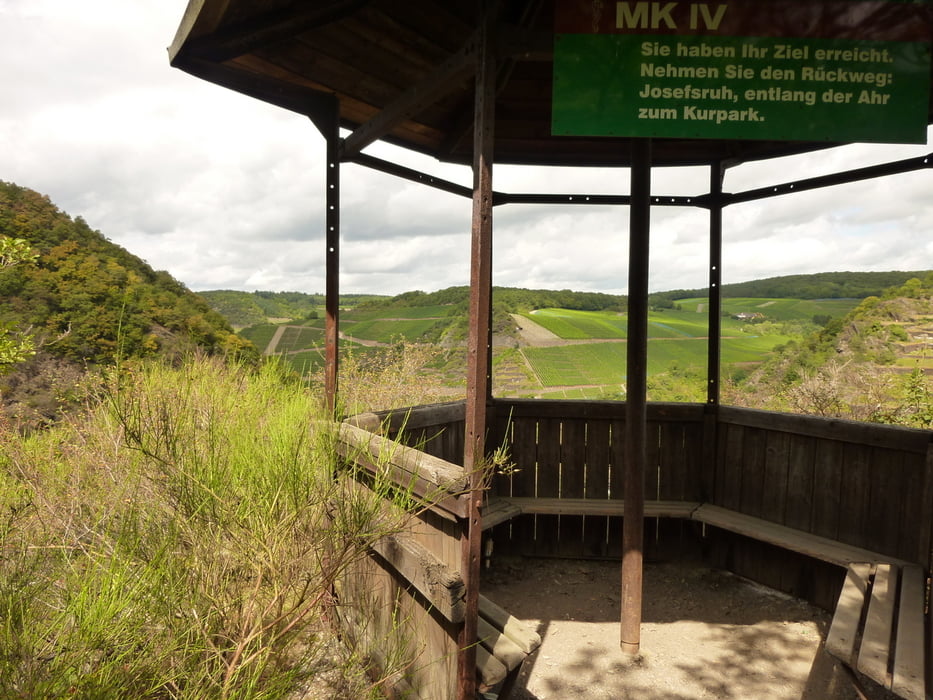
Eine kurze Runde Ab Ahrweilen, entlang dem Wingsbach dann Richtung Katzley und am Ahrufer zurück nach Ahrweiler. Oben an der Katzley eine wirklich herrliche Gegend über schmale Pfade und auch später der Rückweg an der Ahr entlang, einfach toll
Further information at
http://elkebitzer.wordpress.com/2012/08/25/ee-kleine-wanderung-von-ahrweiler-zur-katzley-hoch/Tour gallery
Tour map and elevation profile
Minimum height 104 m
Maximum height 248 m
More about the tour author
|
|
Rennschnuckel |
Comments
Ich habe verbotener Weise an der Quarkaul geparkt
GPS tracks
Trackpoints-
GPX / Garmin Map Source (gpx) download
-
TCX / Garmin Training Center® (tcx) download
-
CRS / Garmin Training Center® (crs) download
-
Google Earth (kml) download
-
G7ToWin (g7t) download
-
TTQV (trk) download
-
Overlay (ovl) download
-
Fugawi (txt) download
-
Kompass (DAV) Track (tk) download
-
Track data sheet (pdf) download
-
Original file of the author (gpx) download
More about the tour author
|
|
Rennschnuckel |
Add to my favorites
Remove from my favorites
Edit tags
Open track
My score
Rate
Schöne Tour
Wir sind heute mit unseren Kindern (9,6,1)diese Runde gewandert. Auch für kurze Beine machbar, aber anspruchsvoll genug, und mit schönen Aussichten sowie Abenteuerfeeling für die Kinder.
Es hat allen sehr viel Spaß gemacht! Danke für die Veröffentlichung!