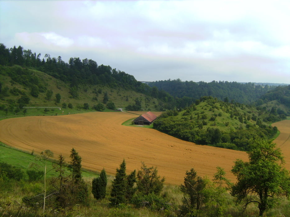
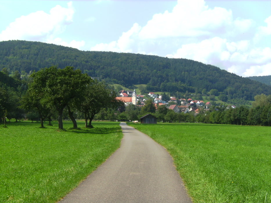
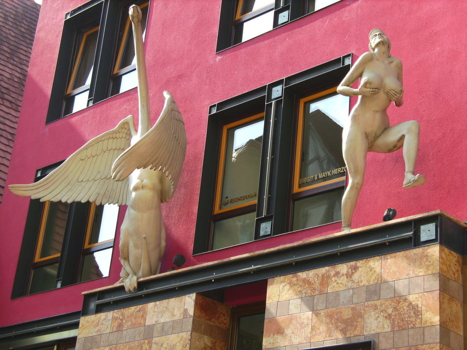
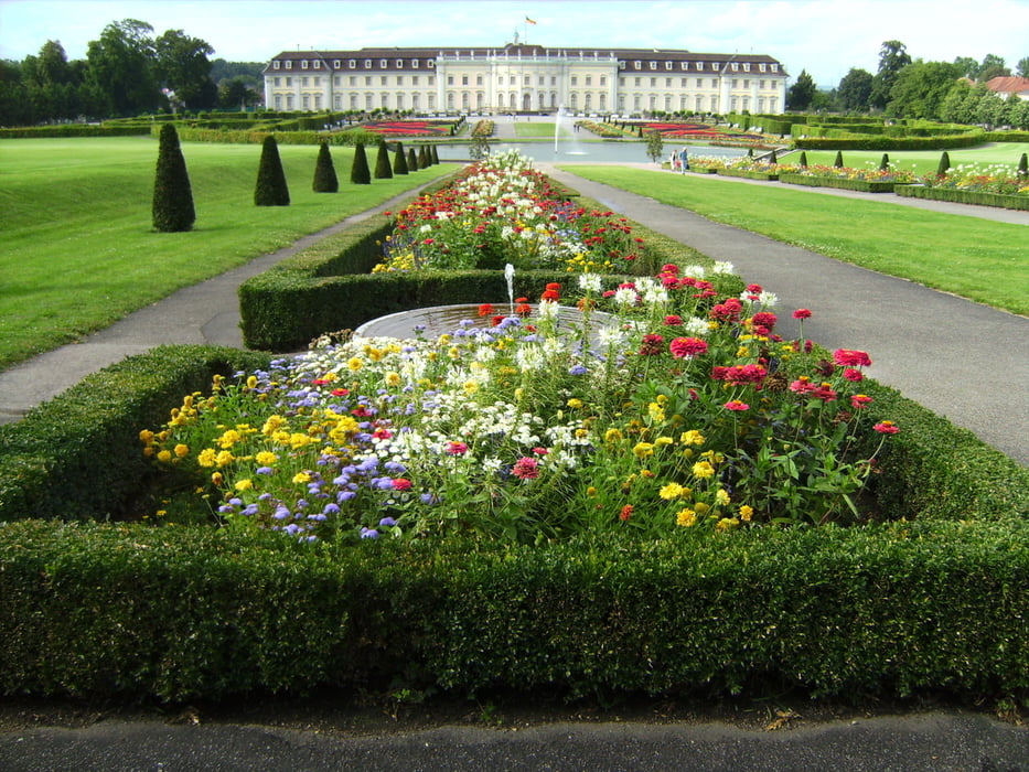
Login

Forgotten password?

Cookies have to be accepted!
Your browser's cookie functionality is disabled. Please enable this functionality.

Not a member yet?

Register now
Login

Available for registred users only

Log in to use this feature.

Forgotten password?

Cookies have to be accepted!
Your browser's cookie functionality is disabled. Please enable this functionality.

Not a member yet?

Register now
Filter
Categories
Advanced filters
  • Distance (km)
  • Height
Save filters Reset filter

TrackRank

QRCode

Technical data

Distance319,6 km Height1006 m Way down1591 m Duration3 days 0 h Date25.08.2012
Scores Author Landscape Fun factor Fitness Technique

Statistics

2965 Views 1 Score 336 Downloads 3.00 Average
Rate
  • Track data sheet
  • Directions
  • Downloads

Tour gallery

Tour map and elevation profile

  • Open Street Map
  • Google
Minimum height 110 m Maximum height 766 m Detailed view

More about the tour author

walderich
Member since 2012

Send private message

Comments

wilbi on 08.11.2014

Schöne Tour

Hallo Walter,
danke für das einstellen der Tour. Empfehlenswert
Wir waren 4 Tage unterwegs.

Gruß
Uwe

Freut mich sehr, wenn es Dir gefallen hat. Ich bin ein Freund der deutschen Radwege und habe noch einiges vor!
Walter

GPS tracks

Trackpoints
  • GPX / Garmin Map Source (gpx) download
  • TCX / Garmin Training Center® (tcx) download
  • CRS / Garmin Training Center® (crs) download
  • Google Earth (kml) download
  • G7ToWin (g7t) download
  • TTQV (trk) download
  • Overlay (ovl) download
  • Fugawi (txt) download
  • Kompass (DAV) Track (tk) download
  • Track data sheet (pdf) download
  • Original file of the author (gpx) download

More about the tour author

walderich
Member since 2012

Send private message
Share track
Add to my favorites
Remove from my favorites
Edit tags
My score
Rate
Track: Neckar-Radweg
Type: Bicycle tours
Distance: 319,6 km
Evaluated on:
Duration:
Day(s)
Hour(s)
Minute(s)
Score: Landscape Fun factor Fitness Technique