


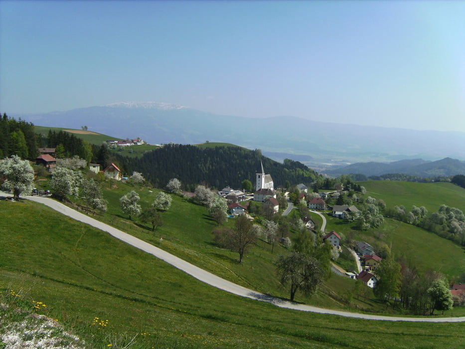
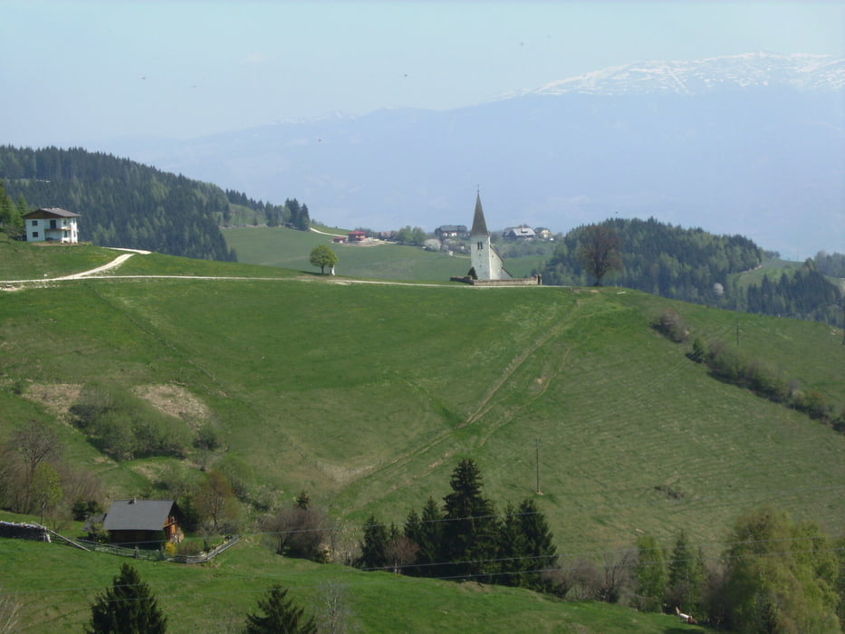
Startpunkt war Granitztal. Von dort geht es kontinuierlich bergauf nach Norden mit herrlichen Ausblicken, die z.T. an die Toskana erinnern, über Zellbach und Lamm bis zum Kirchlein von St. Leohart, das erst kürzlich renoviert wurde. Leider kein Gasthaus vorhanden (gewesen?). Die Abfahrt erfolge in langen Schußfahrten über Wölfnitz, Wriesen, Pustritz und den Haberberg, wo gerade ein Motocrossrennen viel Staub aufwirbelte, unter der Autobahn durch und die Landesstraße steil bergab zurück nach Granitztal.
Tour gallery


Tour map and elevation profile
Minimum height 455 m
Maximum height 1225 m
More about the tour author
|
|
walderich |
Comments

Mit dem Auto bis Granitztal
GPS tracks
Trackpoints-
GPX / Garmin Map Source (gpx) download
-
TCX / Garmin Training Center® (tcx) download
-
CRS / Garmin Training Center® (crs) download
-
Google Earth (kml) download
-
G7ToWin (g7t) download
-
TTQV (trk) download
-
Overlay (ovl) download
-
Fugawi (txt) download
-
Kompass (DAV) Track (tk) download
-
Track data sheet (pdf) download
-
Original file of the author (gpx) download
More about the tour author
|
|
walderich |
Add to my favorites
Remove from my favorites
Edit tags
Open track
My score
Rate