


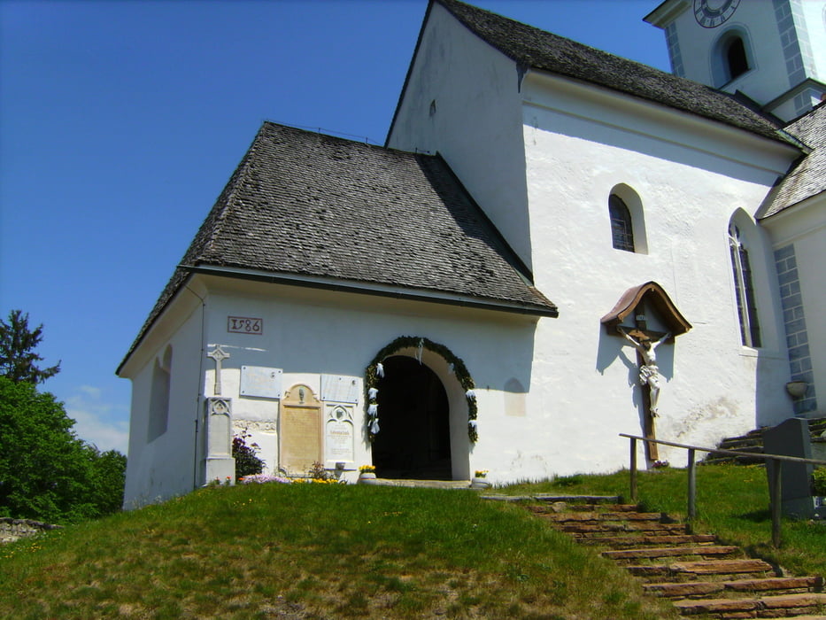
Von Klagenfurt entlang des Wörthersee-Südufers über Velden, Sonnental, Terlach steil auf den Sternberg - schönes Kirchlein - Abfahrt nach Norden über einen Forstweg, der dann nach Osten biegt, bei der Waldschenke vorbei zum Saissersee zur Forellenverkostung und weiter über Kerschdorf, St.Martin am Techelsberg, Windischberg, über die Moosburgerstraße nach Süden zum Wörthersee-Nordufer und am Radweg zurück nash Klagenfurt.
Tour gallery

Tour map and elevation profile
Minimum height 430 m
Maximum height 738 m
More about the tour author
|
|
walderich |
Comments

GPS tracks
Trackpoints-
GPX / Garmin Map Source (gpx) download
-
TCX / Garmin Training Center® (tcx) download
-
CRS / Garmin Training Center® (crs) download
-
Google Earth (kml) download
-
G7ToWin (g7t) download
-
TTQV (trk) download
-
Overlay (ovl) download
-
Fugawi (txt) download
-
Kompass (DAV) Track (tk) download
-
Track data sheet (pdf) download
-
Original file of the author (gpx) download
More about the tour author
|
|
walderich |
Add to my favorites
Remove from my favorites
Edit tags
Open track
My score
Rate