


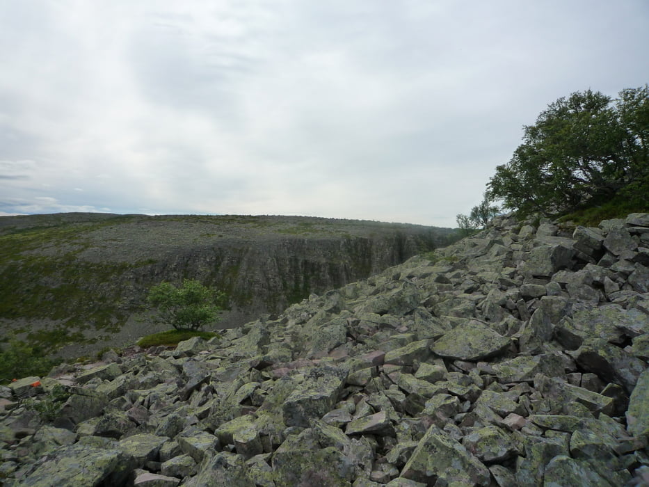
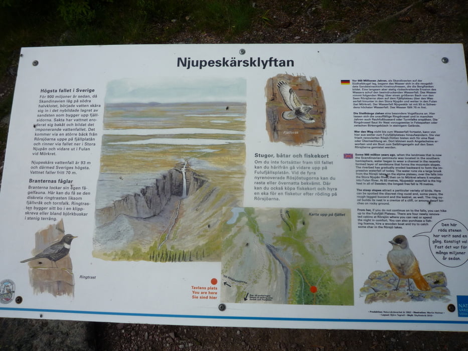
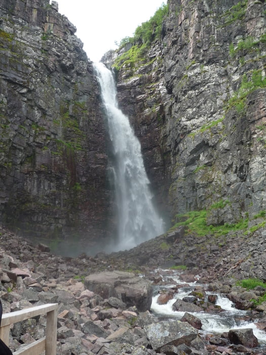
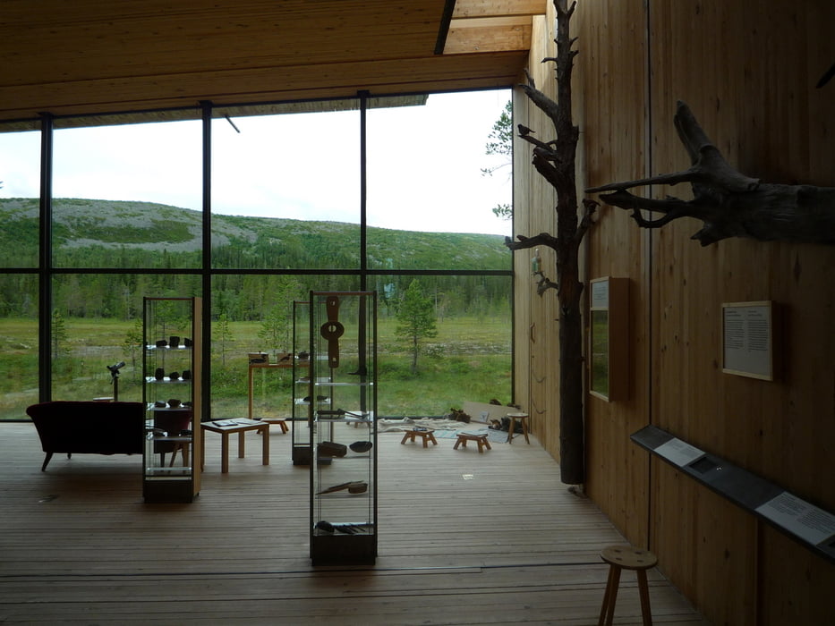
Der Rundweg zum Njupeskär-Wasserfall ist ein muss, am südlichen Kungsleden! Der Rundweg beginnt an der Schutzhütte Rörsjöstugen. Für den Rundweg würde ich ca. 3 bis 4 Stunden veranschlagen. Am Naturum ( sehenswert! ) gibt es auch eine Gaststätte, die nun wirklich die letzte Chance zur Aufnahme von Nahrung bietet!
Wunderschöne, anspruchsvollen ( beim Abstieg! ) Runde!
Gelaufen Juli 2012!
Siehe auch: Tour #107687: südliche Kungsleden von Storlien nach Sälen 360 km
Viel Spaß!
Further information at
http://de.wikipedia.org/wiki/Njupesk%C3%A4rTour gallery
Tour map and elevation profile
Minimum height 712 m
Maximum height 909 m
More about the tour author
|
|
FLU |
Comments

GPS tracks
Trackpoints-
GPX / Garmin Map Source (gpx) download
-
TCX / Garmin Training Center® (tcx) download
-
CRS / Garmin Training Center® (crs) download
-
Google Earth (kml) download
-
G7ToWin (g7t) download
-
TTQV (trk) download
-
Overlay (ovl) download
-
Fugawi (txt) download
-
Kompass (DAV) Track (tk) download
-
Track data sheet (pdf) download
-
Original file of the author (gpx) download
More about the tour author
|
|
FLU |
Add to my favorites
Remove from my favorites
Edit tags
Open track
My score
Rate