
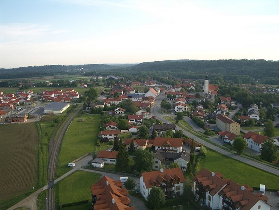

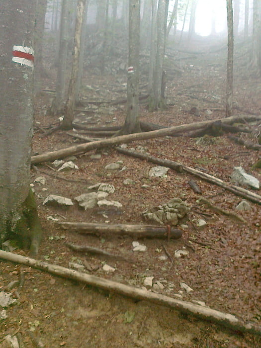
Kann zu dieser Tour eigentlich nicht viel sagen, die Tour Start in Tacherting, zuerst fährt man Richtung Kienberg, von da Richtung Schnaitsee, dann Richtung Engelsberg und von Engelsberg wieder nach Tacherting. Die Tour wird zu guten 80% auf Schotterstrassen gefahren, teilweise muss man sehr genau aufpassen wo der weg hingeht, manchmal ziemlich verwachsen im Wald.
Aber trotzdem wunderschöne Tour, da lernt man wenigstens mal die Gegend kennen.
Viel Spass beim Nachfahren...
Further information at
http://www.tacherting.deTour gallery

Tour map and elevation profile
Minimum height 453 m
Maximum height 579 m
More about the tour author
|
|
andi084 |
Comments

Von Traunstein aus 23km Richtung Altötting fahren, man fährt genau durch Tacherting durch(Parkmöglichkeit am Rathaus)
Von Altötting aus 25km Richtung Traunstein fahren.
Von Tittmoning 21km, Richtung Kirchweidach fahren, von dort über Feichten nach Tacherting
GPS tracks
Trackpoints-
GPX / Garmin Map Source (gpx) download
-
TCX / Garmin Training Center® (tcx) download
-
CRS / Garmin Training Center® (crs) download
-
Google Earth (kml) download
-
G7ToWin (g7t) download
-
TTQV (trk) download
-
Overlay (ovl) download
-
Fugawi (txt) download
-
Kompass (DAV) Track (tk) download
-
Track data sheet (pdf) download
-
Original file of the author (gpx) download
More about the tour author
|
|
andi084 |
Add to my favorites
Remove from my favorites
Edit tags
Open track
My score
Rate